The Nemours Plantation was part of the rice growing complex in the ACE basin, called that after the three rivers – Ashepoo, Combahee and Edisto – that make up one of the largest undeveloped estuaries along the Atlantic Coast. Rice production became unprofitable in the late 19th Century and much of the population left. Rich industrialists from the north bought up lots of the land for hunting preserves, among them the Duponts, who bought what became Nemours. Much of the rest reverted to forests.
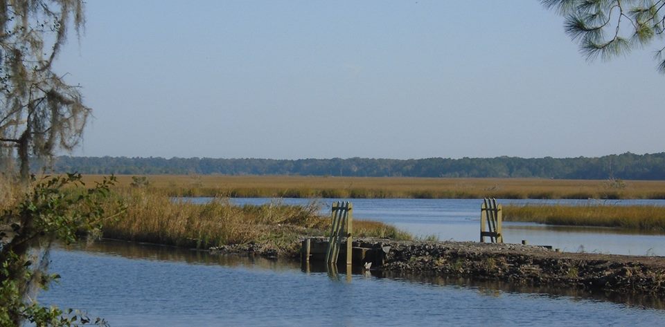
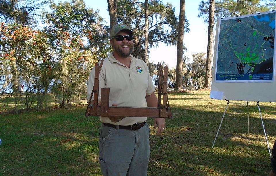
The rice growers had impounded the waters by building dikes with contraptions that allowed water to come in at high tide and then prevented it draining at low tide. Although the rivers were tidal, the water if fresh. High tide merely caused the river water to back up. My pictures show the devices used to hold the water. You can see how it works in the model. Workers open the gate when the tide is coming in and the receding tide seals it. The design was Dutch, people who had a lot of experience with dikes.
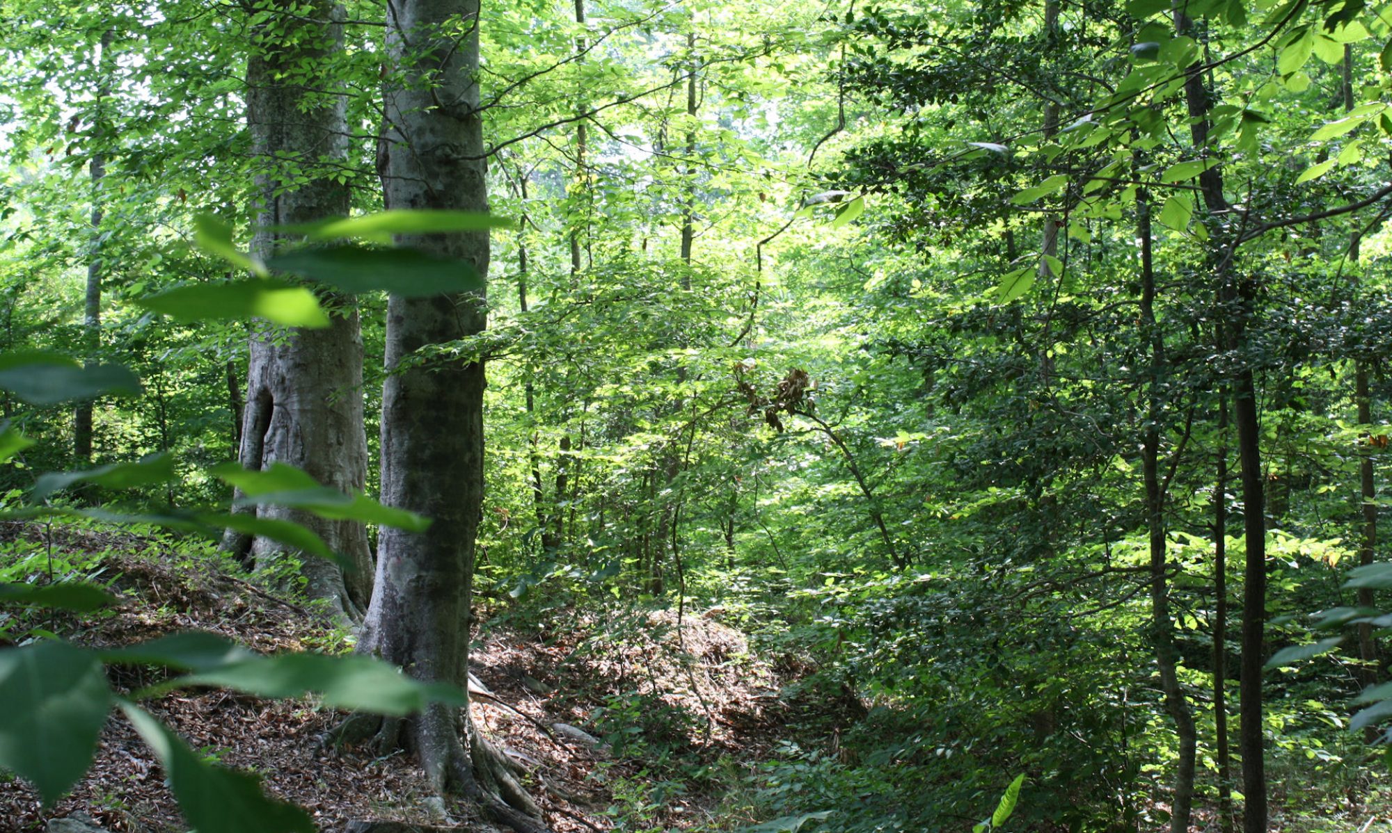
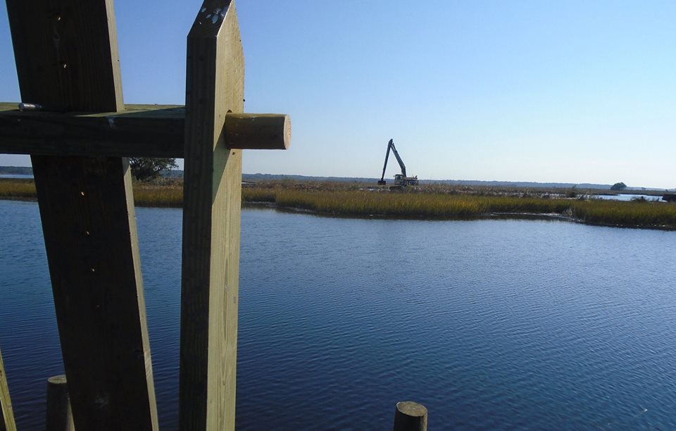
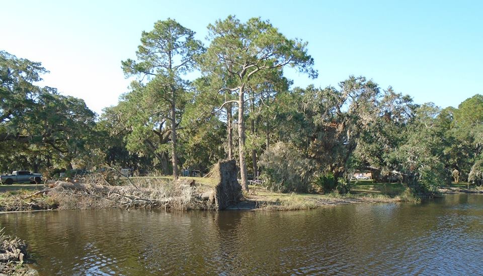
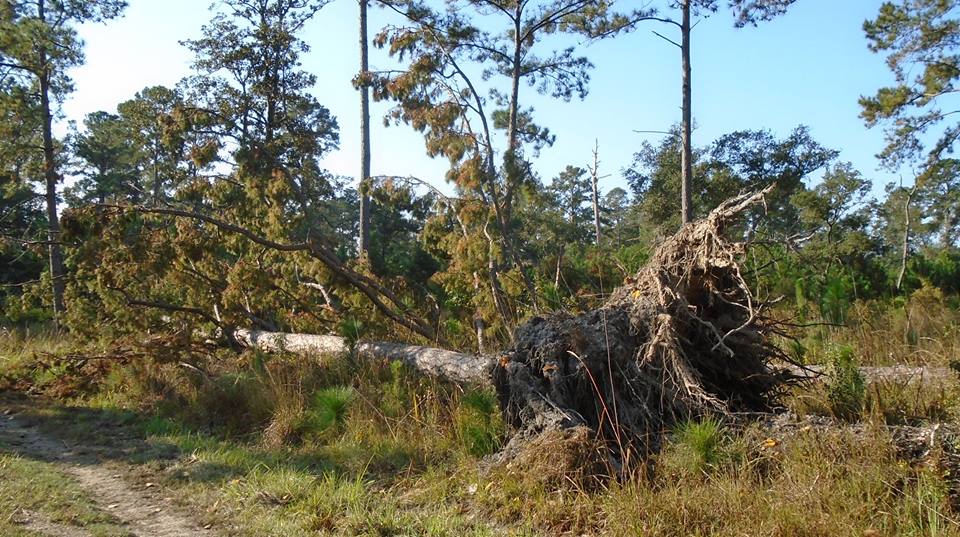
When the hunting estates were formed, they converted the rice impediments to plants to feed migratory birds. They still are doing that job. Recent heavy rain and wind of Hurricane Matthew breached many of the dykes. One of my photos shows repairs underway. You can also see the gates and a model that shows how it works. The other two photos show downed trees. You can tell if a forest has not been cut for a long time by, among other things, the humps and holes caused by roots pulling up the dirt. A cleared and plowed field smooths out these things.