I talked about my flight over the farms with Brian in my last post. The aerial perspective was fun. I could see the interrelations of the wildlife plots for the first time. Below are some pictures with comments.

Above is a panorama of the feed plots and a picture of almost the whole CP farm (the wing covers only a small corner.) You can see how they are connected and how form openings in the woods. They are mostly covered in clover, which appears a lighter green this time of year. The picture below shows the sun reflecting off the streams. It has been a wet year, so they are wider than usual. I was a little surprised how much water is spread over the wetland area near the center of the photo. BTW, the gray trees are the broad-leaf forest, currently bare of leaves, around the streams and boundaries, so you can see things clearer this time of the year than when everything is green.

Below is the Freeman tract. You can see the boundaries with the deciduous bare branches. It is roughly rectangular. You can see the Vulcan quarry off to the NW. It is much closer to our property than I thought. You have to drive a long way around to get to the farm gate. As I wrote in yesterday’s post, that quarry may eventually become a deep lake, which would be a nice addition. The utility lines that run through the property were recently upgraded, and the dirt was a bit torn up by the machines. I have a total of eight acres under those lines, so it is not inconsequential. I would like to plant this over in warm season native grasses and encourage some quail habitat. The long narrow aspect provides a lot of edge environment.

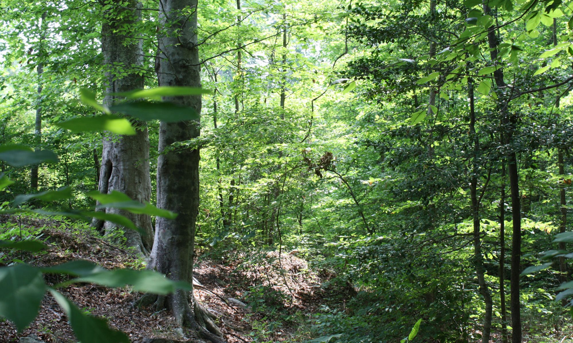
The Freeman trees will be fourteen years old this year. It is an exceptionally good stand and I think they will be ready for thinning, maybe even this year. I have spent a lot less time on this tract. The CP farm was my first one, so I spent a lot of time there just getting to know forestry, it is also more interesting because it has a greater variety of environments, including the wetlands and hills. You cannot really tell from the pictures, but CP is a lot hillier than Freeman. But Freeman is more valuable for growing trees, acre for acre. Less interesting is often more valuable.

Above is a panorama showing the local lay of the land. My forest is only part of the bigger picture. The whole area looks like this. You can see how important forestry is to southern Virginia. Flying over made that clear. It is not just covered in forest, but also lots of clearly managed forests. BTW, the distortion you see in the picture is just the reflections from the window glass.