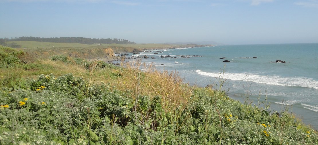
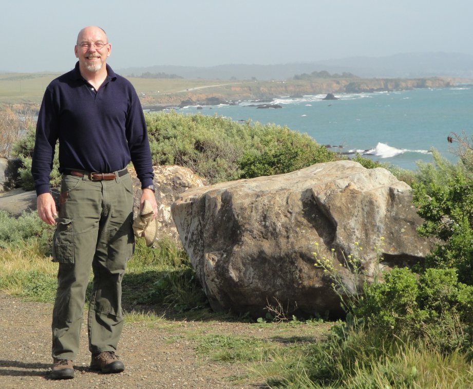
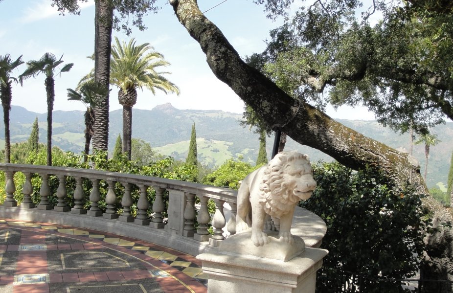
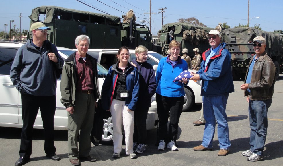
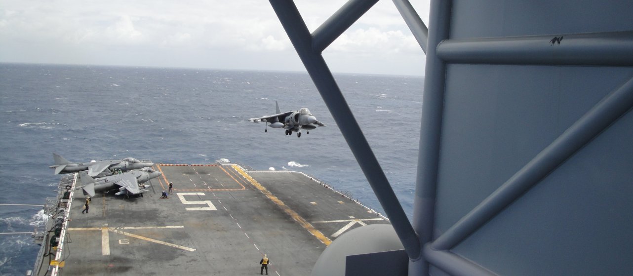
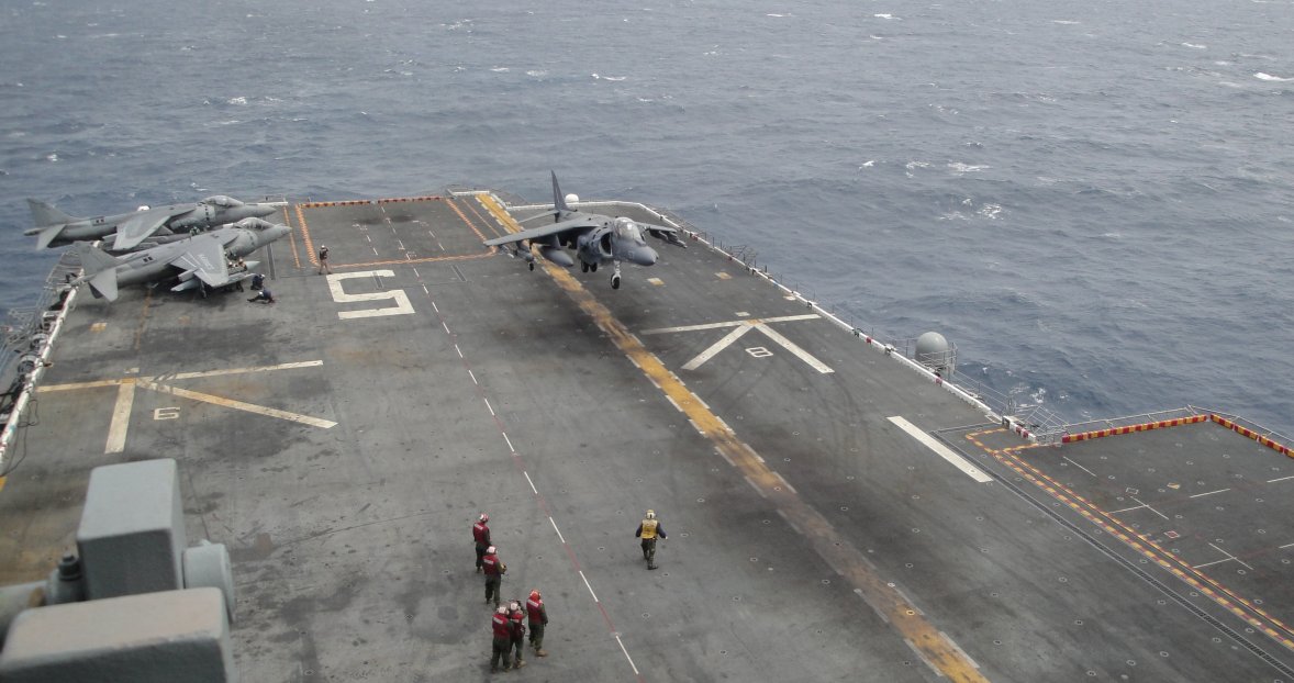
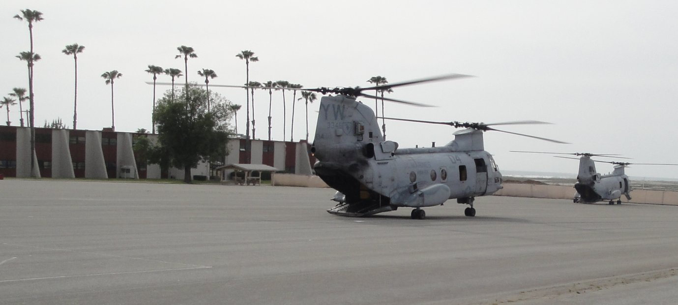
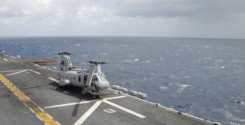
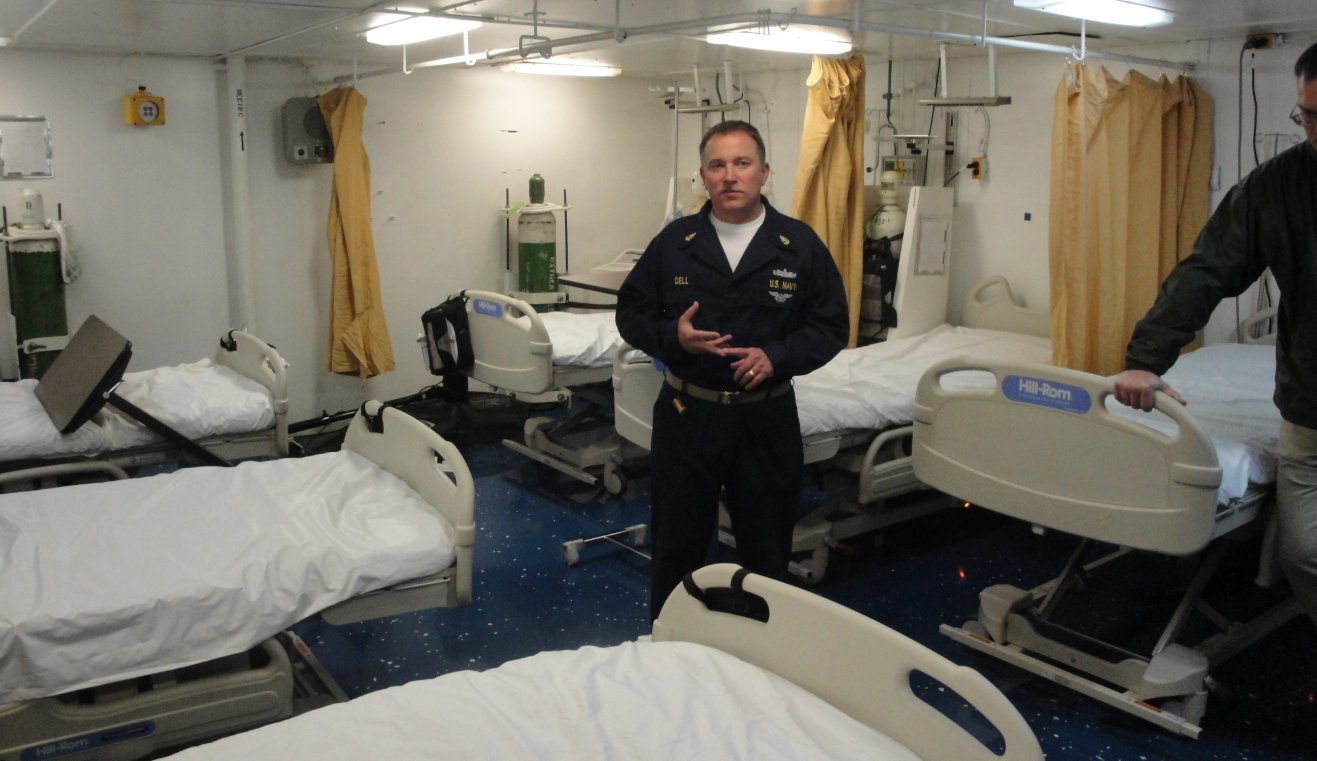
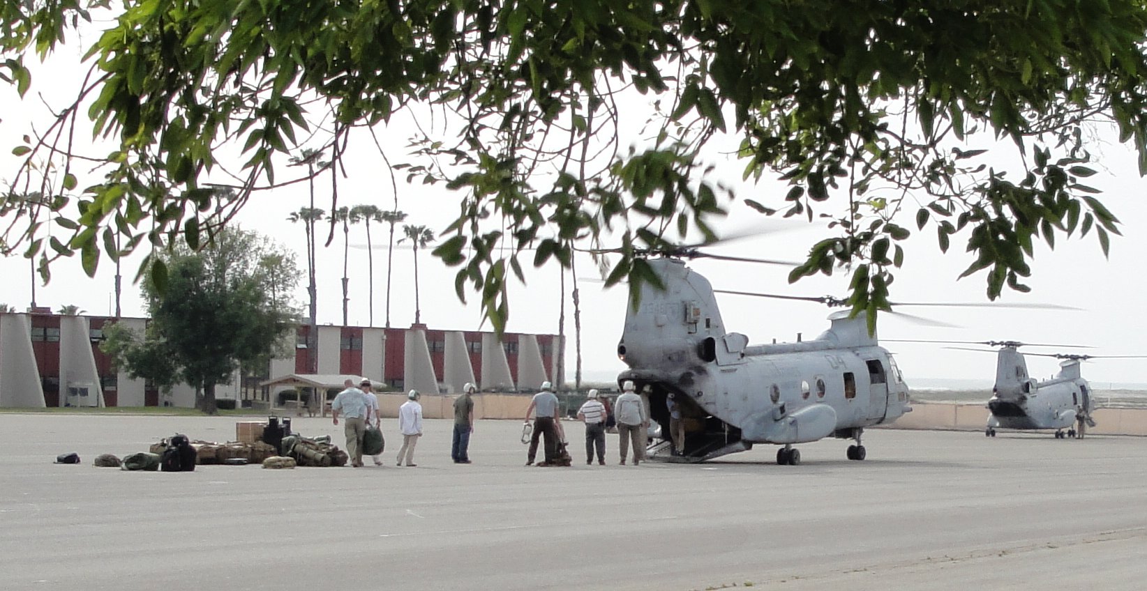
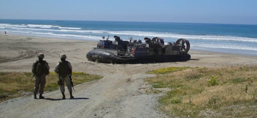
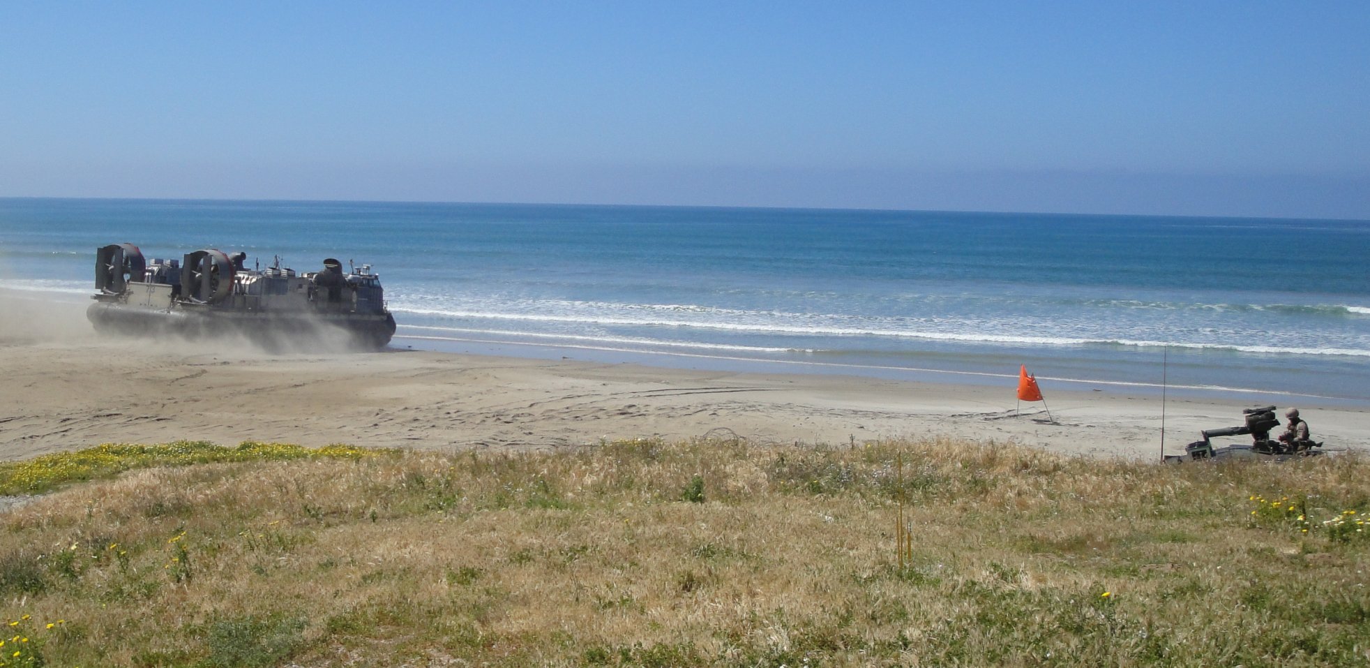
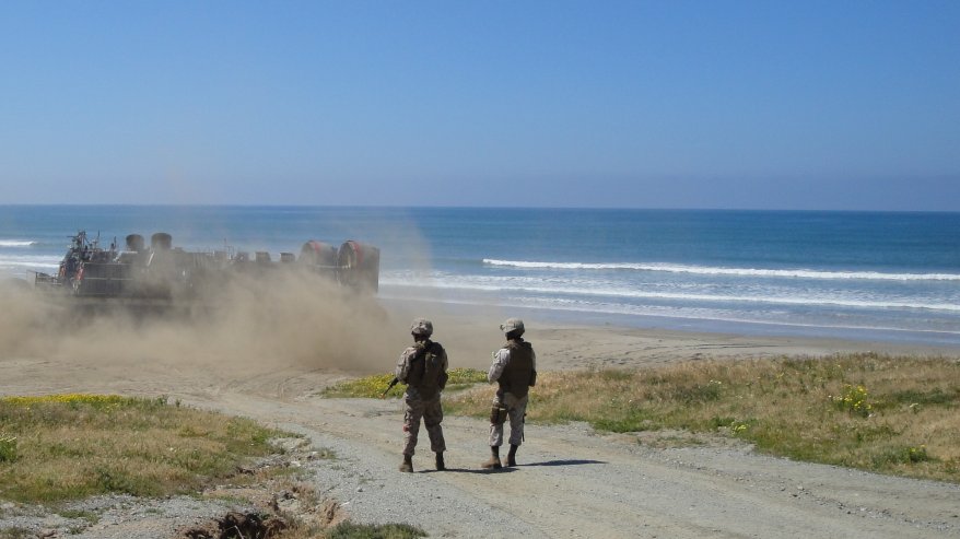
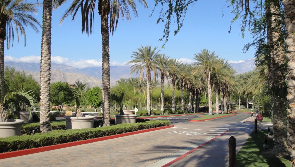
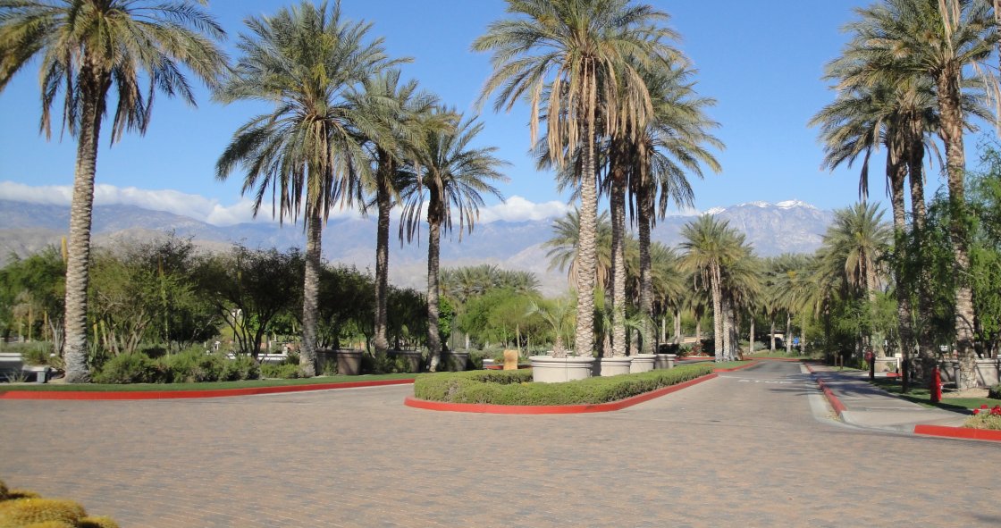
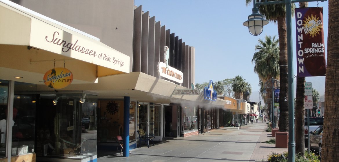
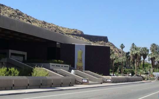
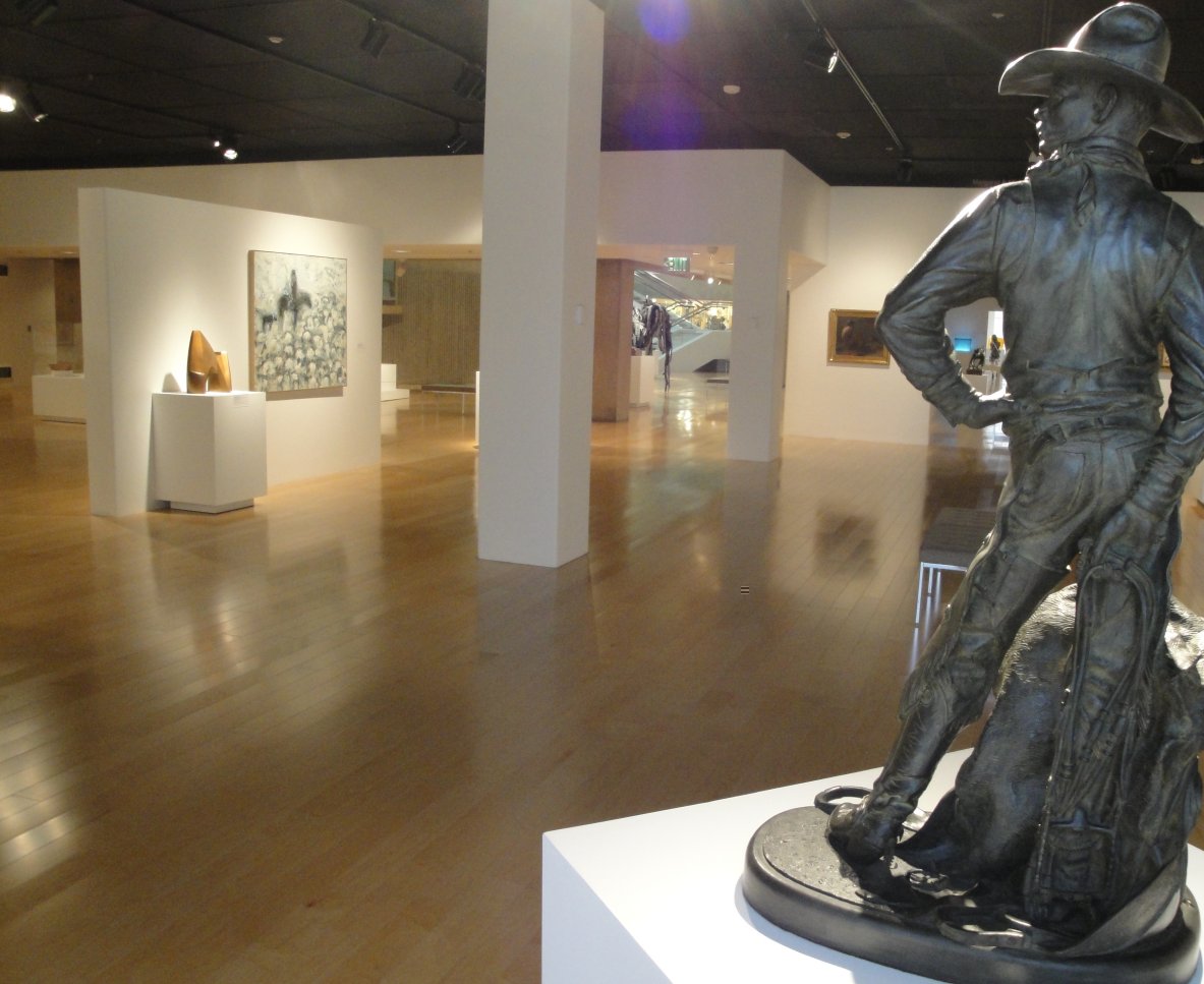
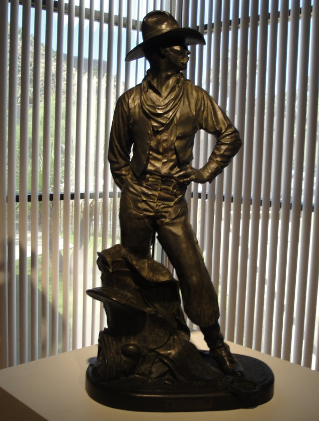
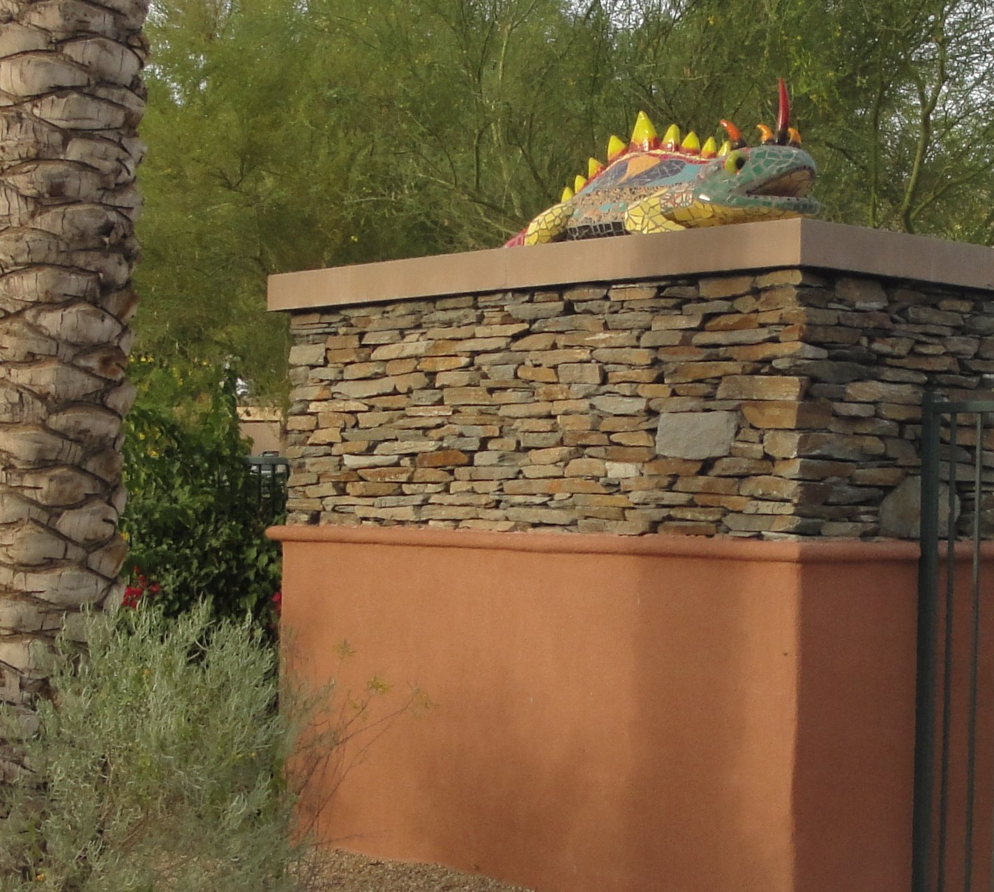
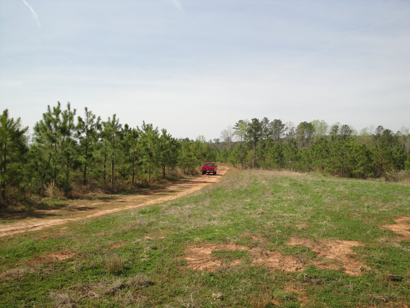
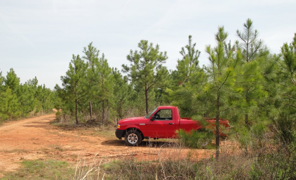
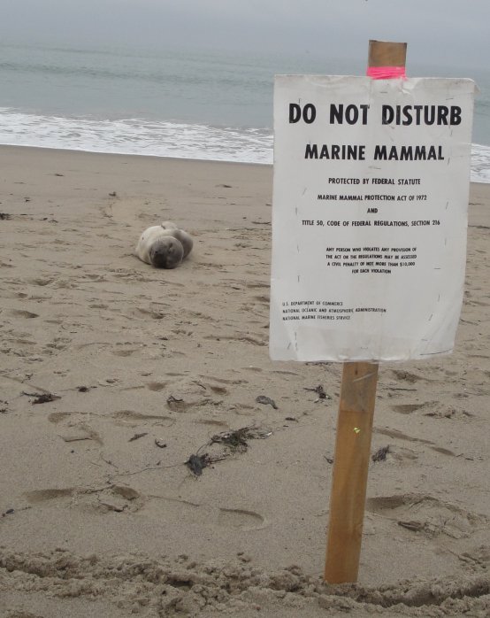
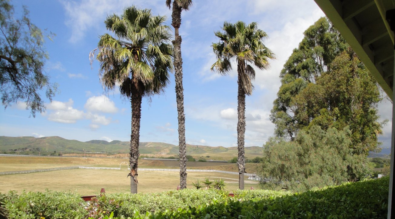
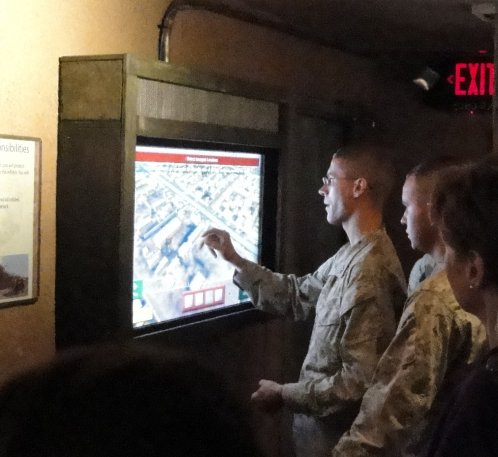
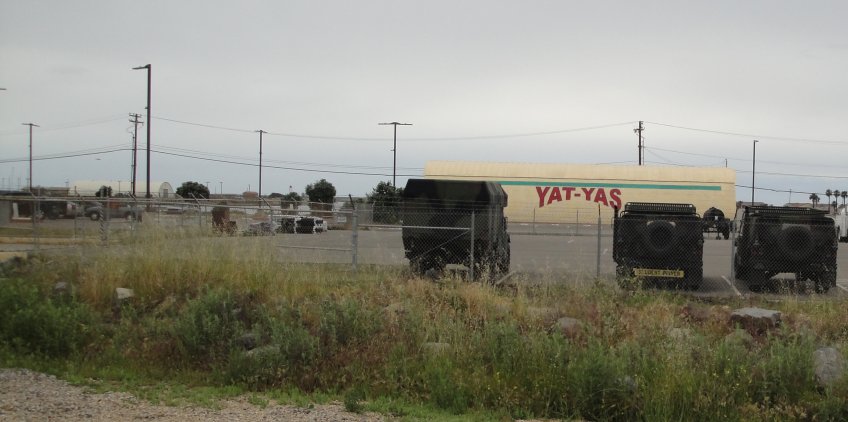
This is a dump of pictures from April. Most did not make it onto the blog, but in case anybody wants to look at them. The titles make sense to me, but there are typos and misspellings, and I don’t guarantee that the titles make sense to anybody else. They all are creative commons, however, so if anybody wants to copy a picture to use on his/her own blogs, these pictures are available.


Springtime

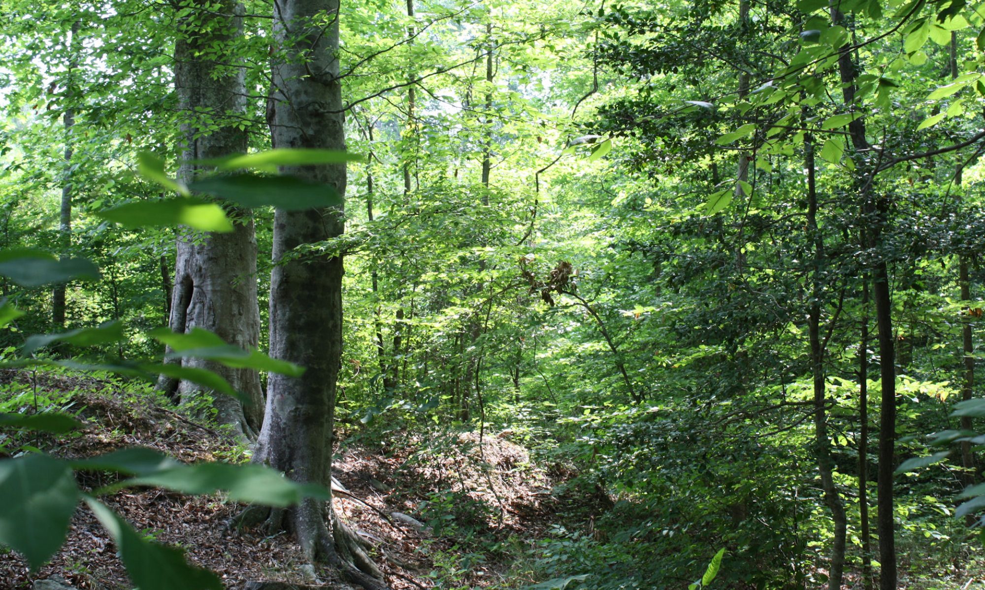
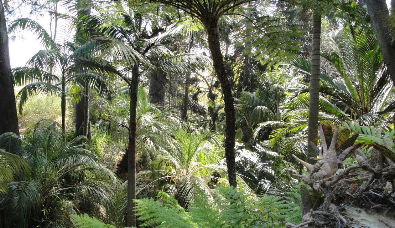
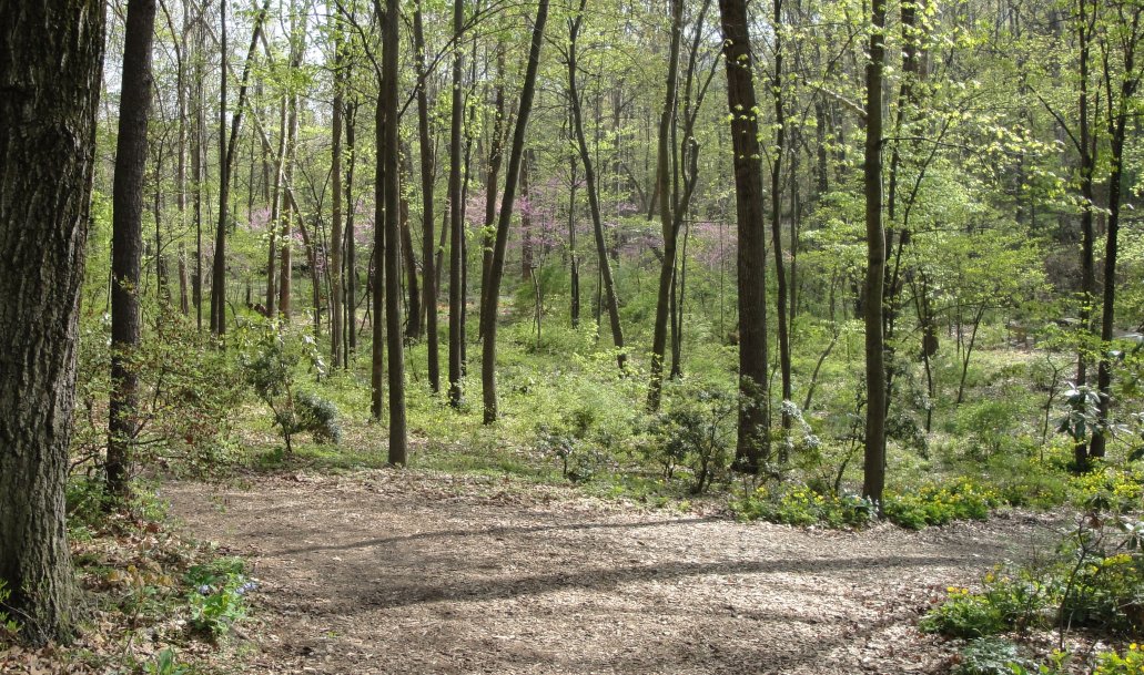
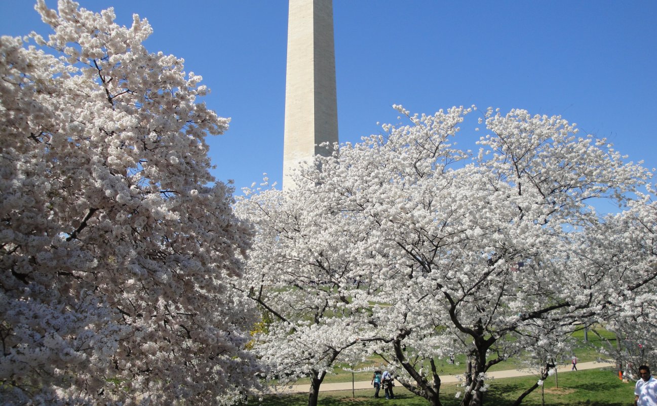
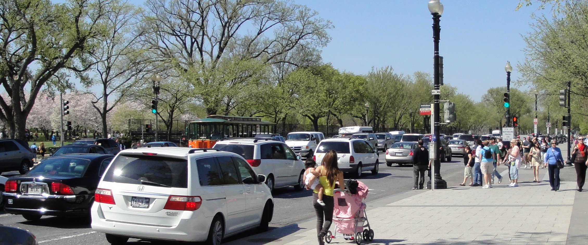
We are back home in Virginia and we have evidently missed spring, at least late spring. It is now summer. The leaves are all out. Today was hot & humid, mostly humid, at least compared to the cool weather we had when I was last here a couple of weeks ago. It will get more or less cooler again. May is a pleasant month; we usually don’t get that oppressive heat until late June.

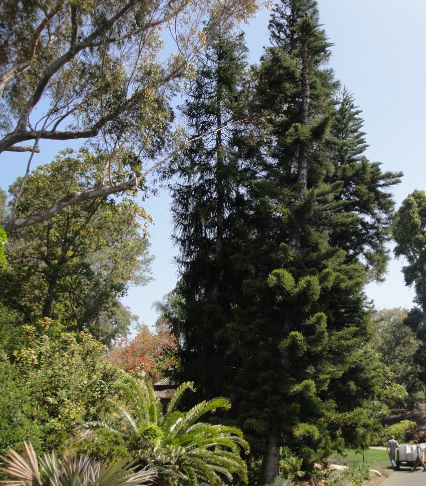
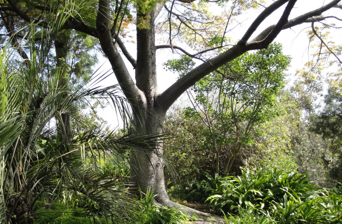
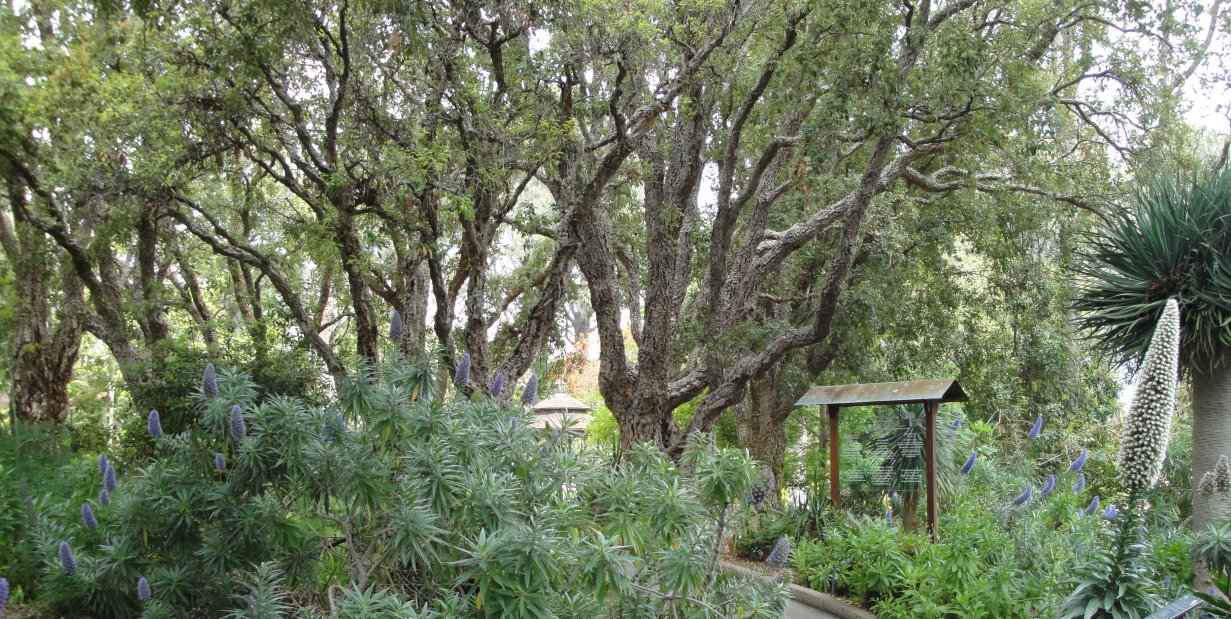
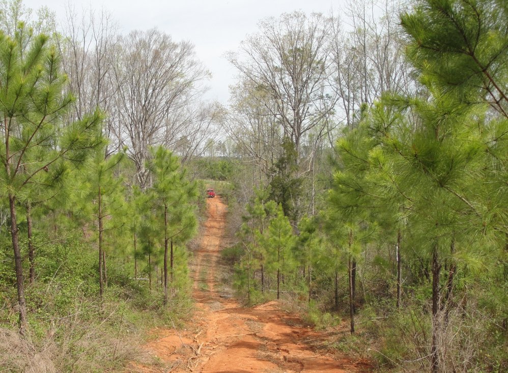
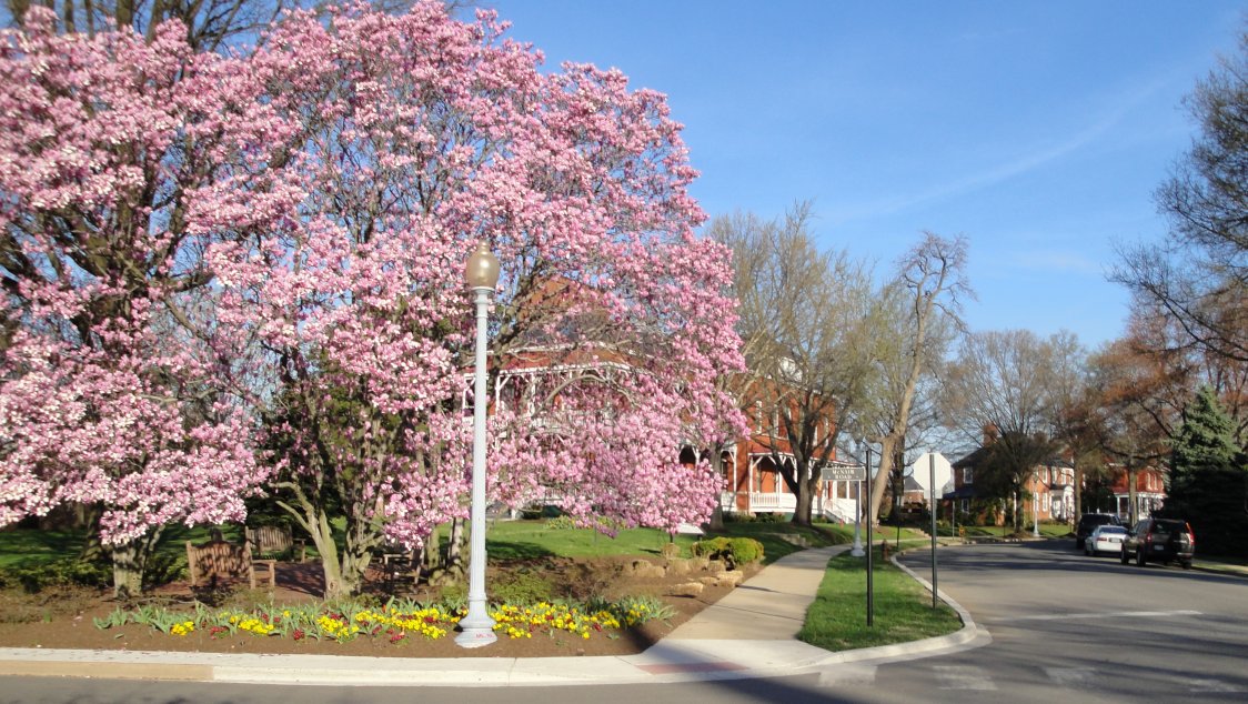
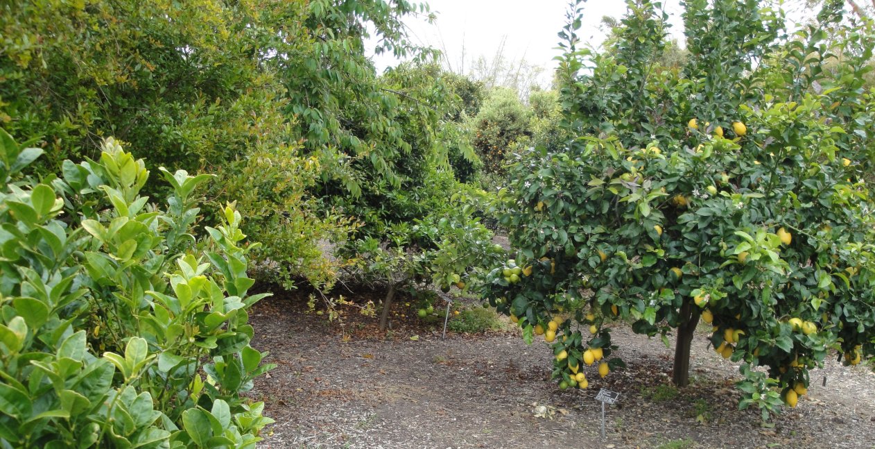
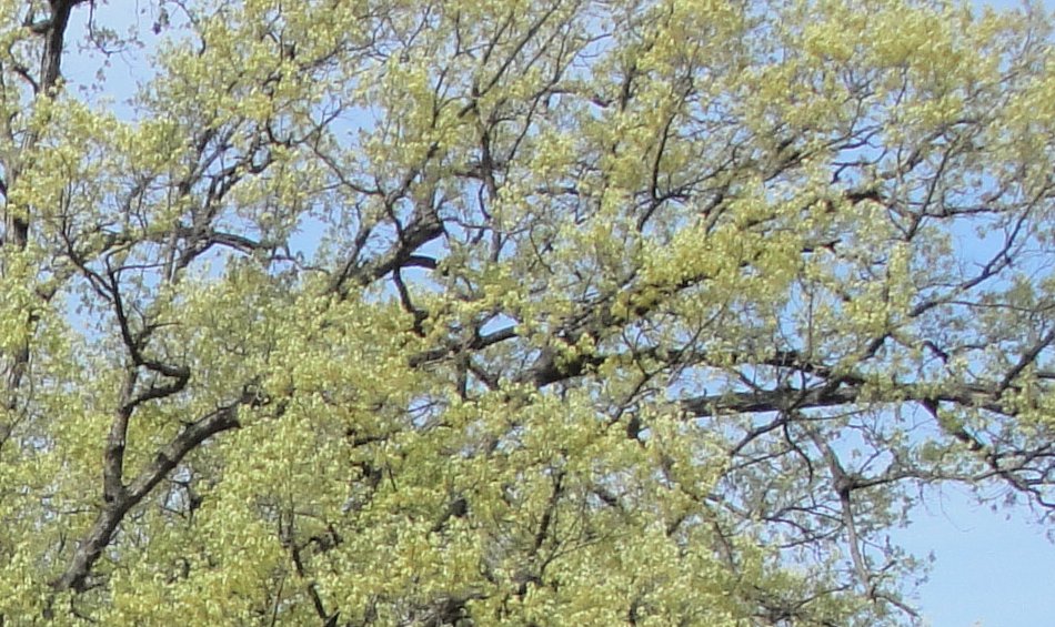
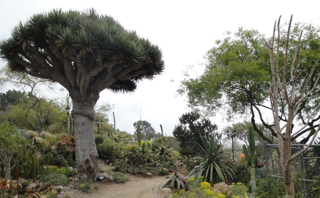
I went to see Alex just before I left for California. We went to the arboretum in Harrisonburg, but I never wrote a post or posted the pictures. It was a pleasant spring day. I am posting the pictures today, but they are a couple weeks out of date.

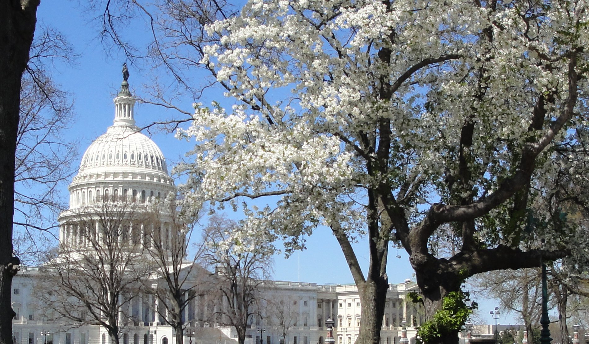
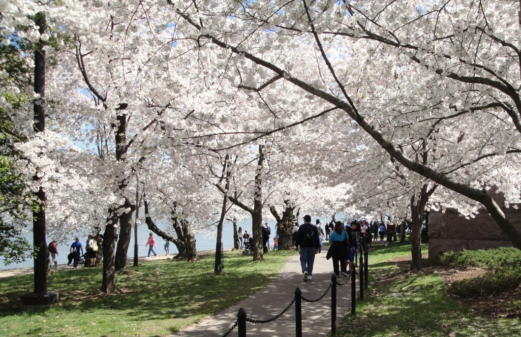
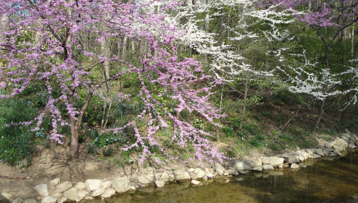
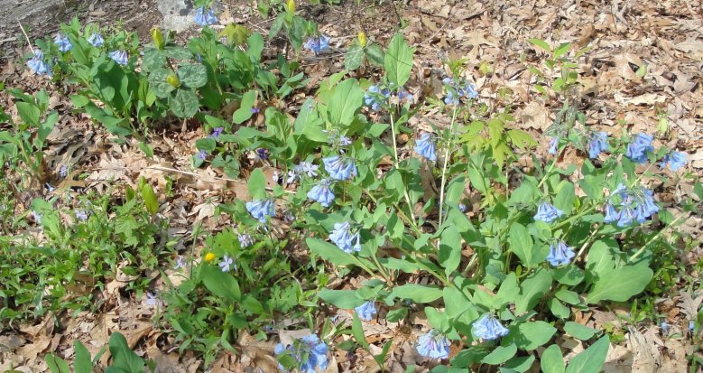
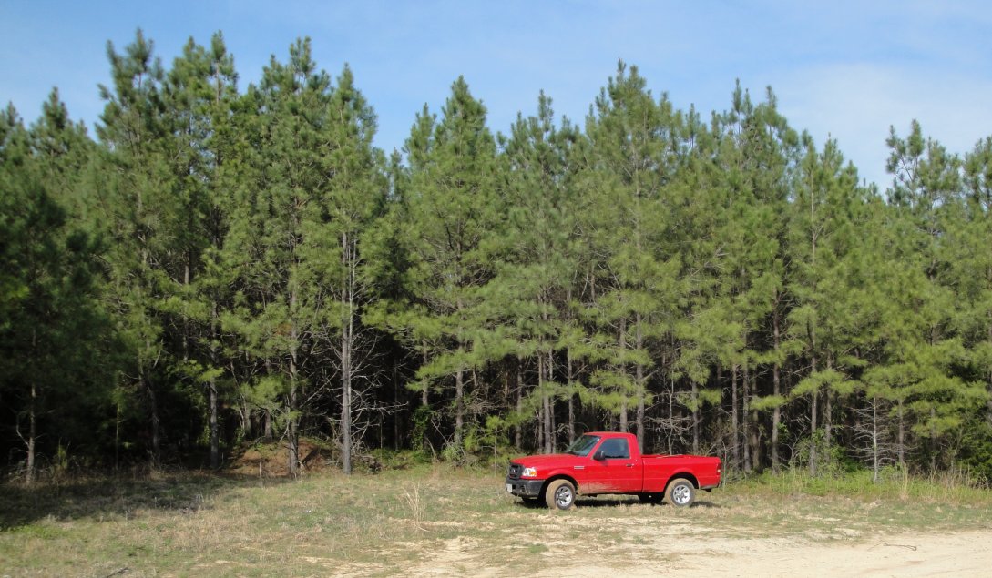
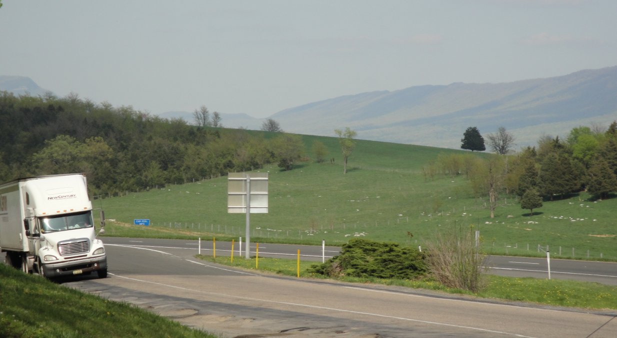
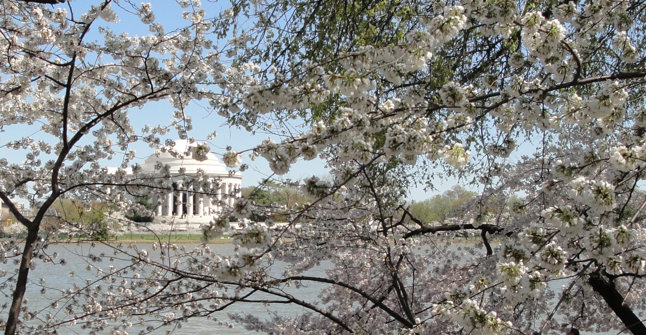
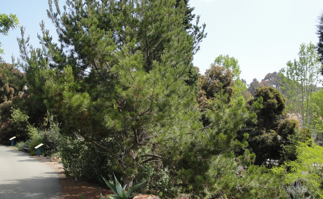
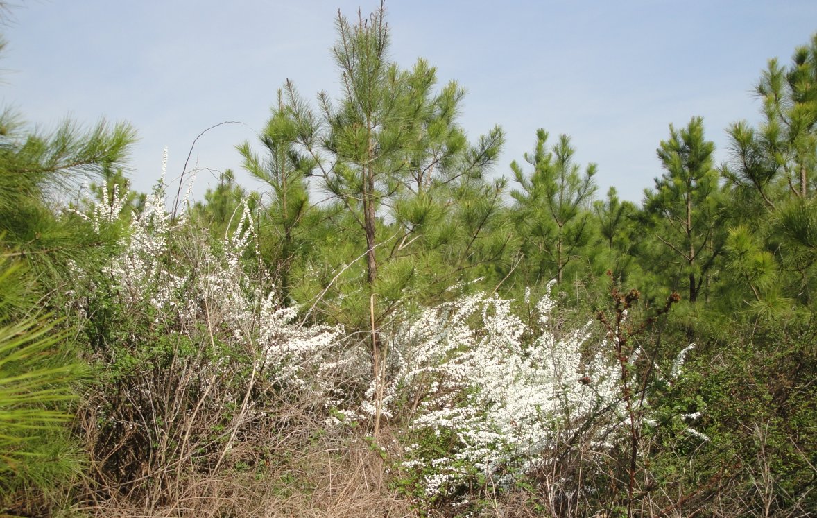
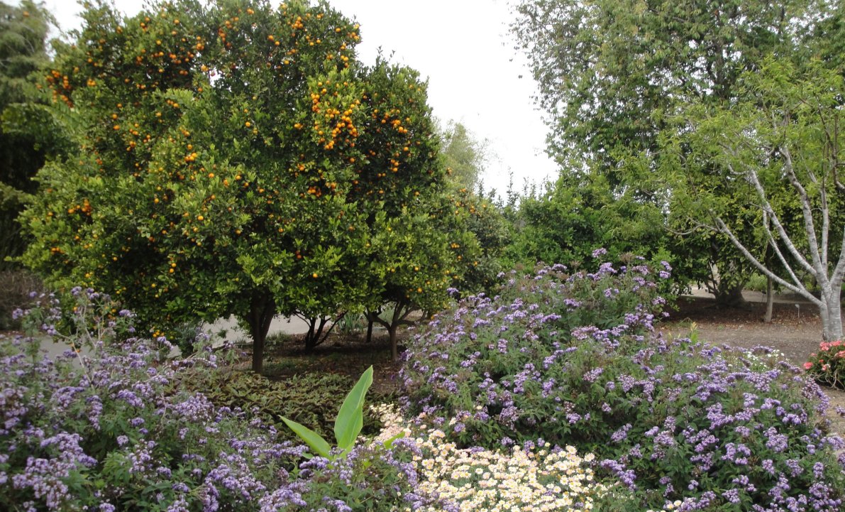
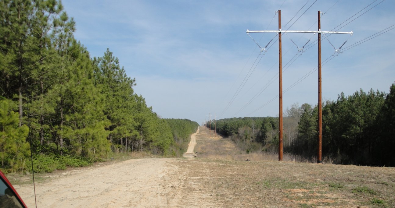
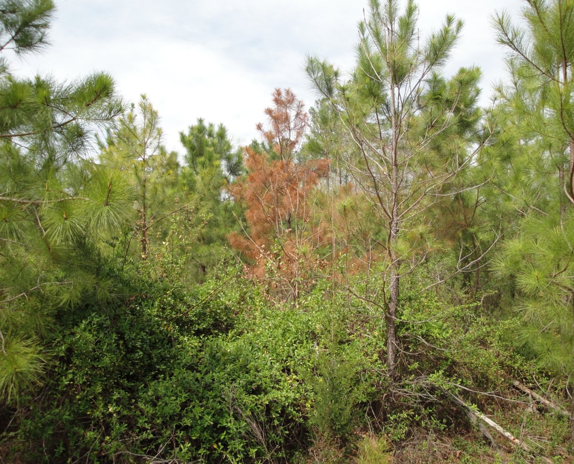
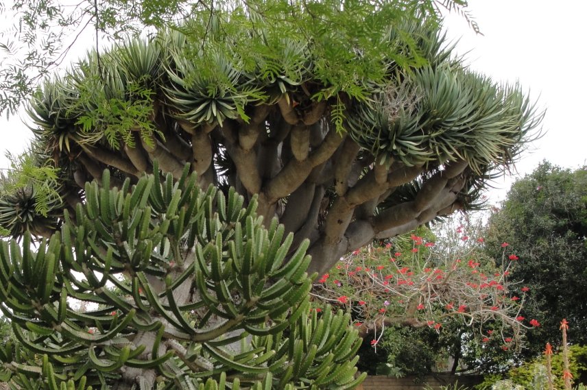
The Shenandoah is one of most pleasant places on earth in the springtime. The picture on top I-81 that passes through the valley. It is a busy truck route, that carries much of the goods along the East Coast. The trucks make it a hectic drive sometimes. They are bigger than the cars and they know it. The middle pictures are flowering trees in the arboretum.


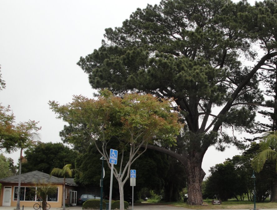
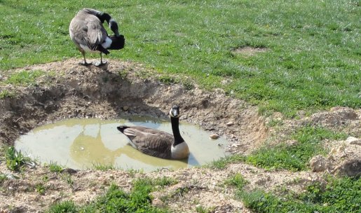
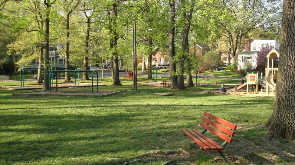
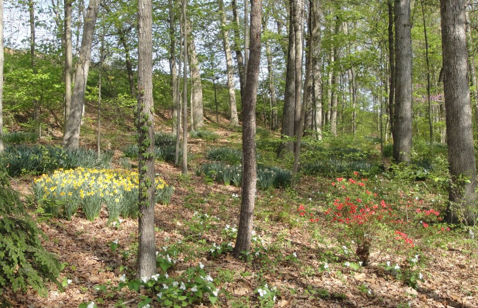
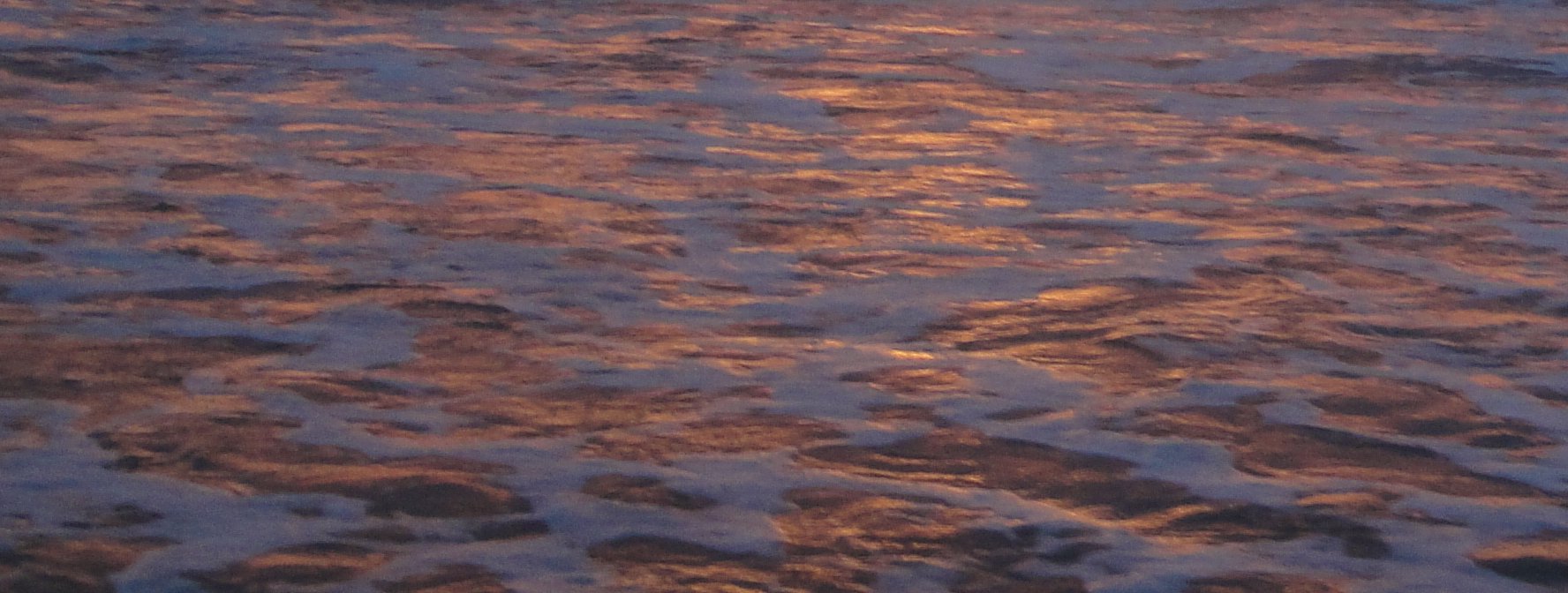
Above is the pond on the arboretum. Below is a pocket park in Arlington. It is near the place where we first lived when I joined the FS. It is just one block of green, enough to give kids a place to play and provide a nice space for the neighbors.

Below is the lawn in the park. It is a “real” lawn with clover and some weeds. I like this better than the chemical lawns so common around malls and new developments. The Chesapeake Bay is polluted with run off. They blame farms and farms do contribute, but at least they also produce something. But it is just wrong when we use chemicals and fertilizers to create perfect lawns. This one is better all around.

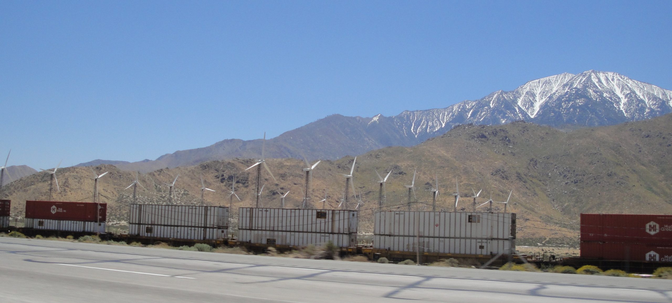
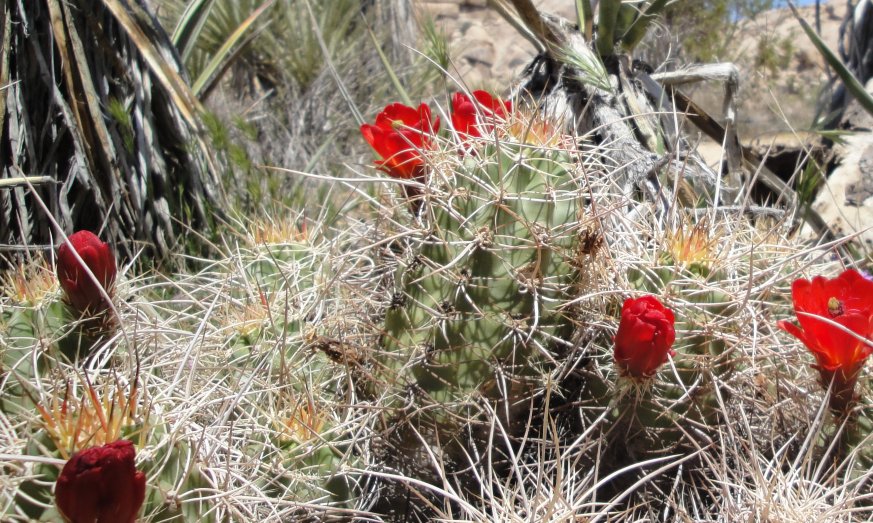
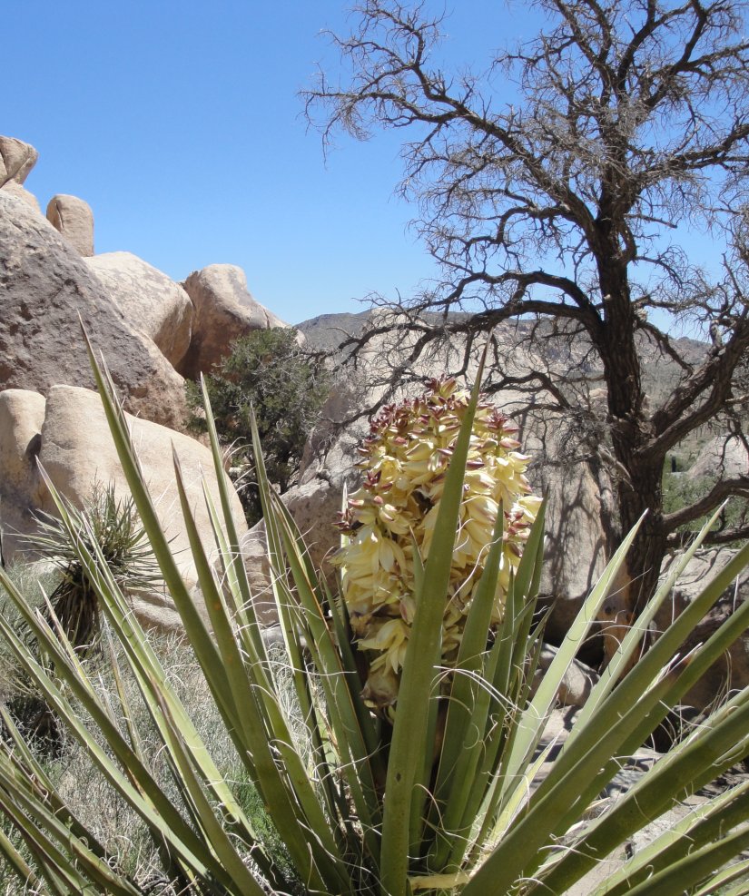
Salton Sea & Wind Blasted Rocks

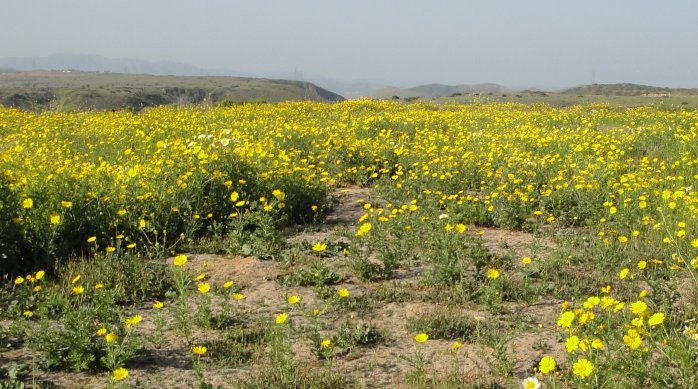
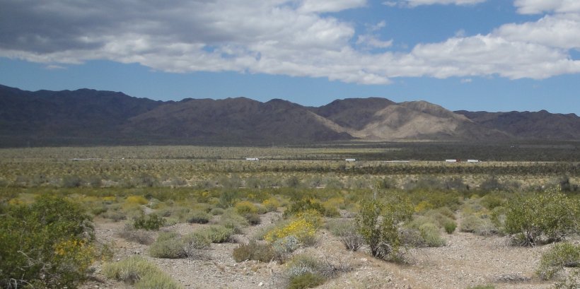
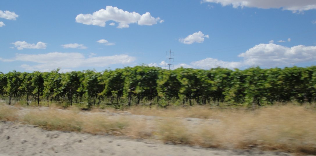
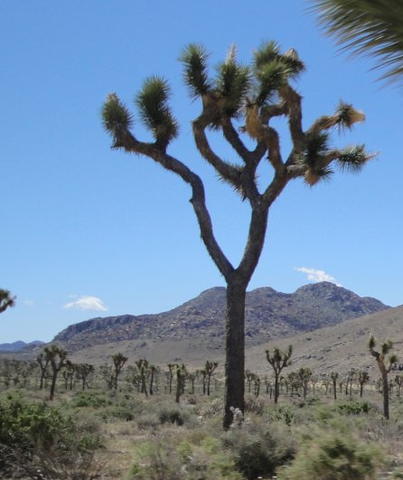
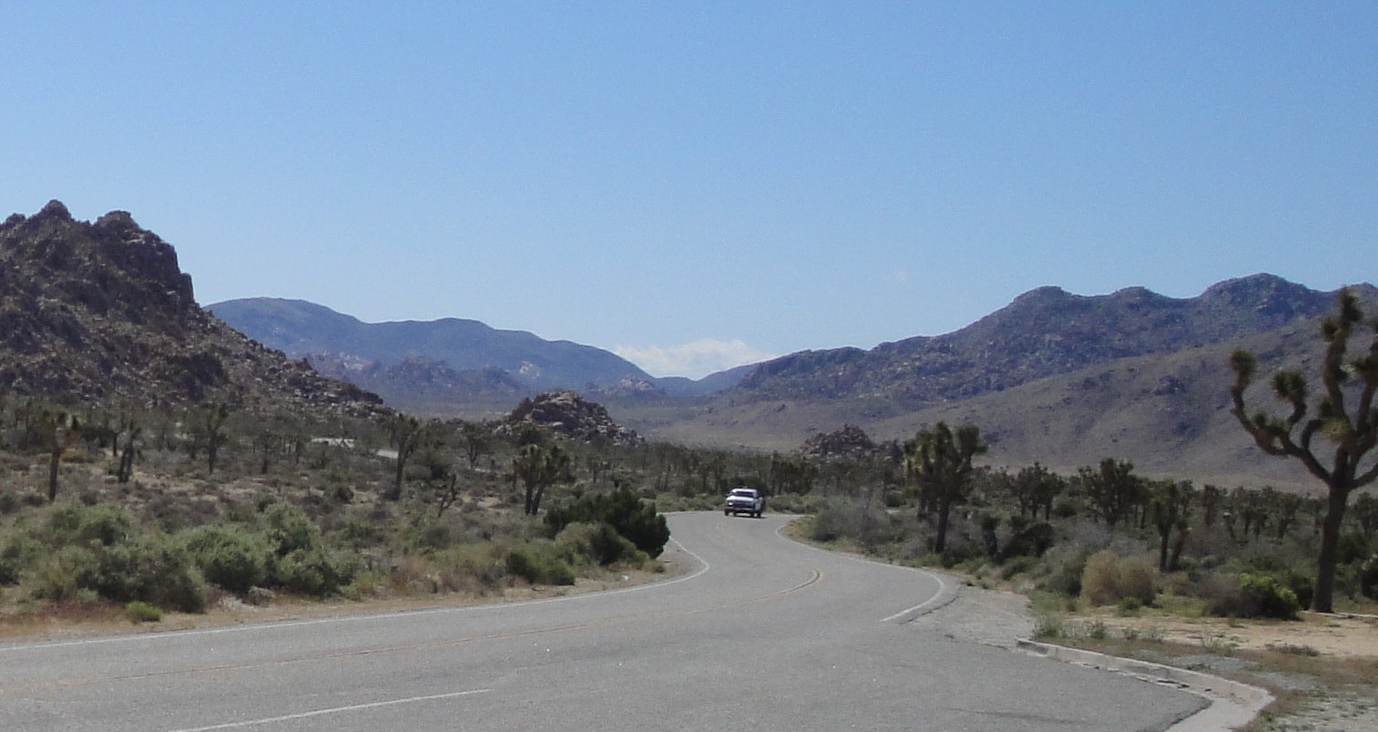
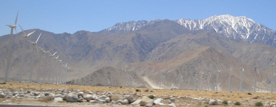
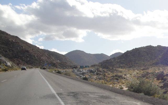
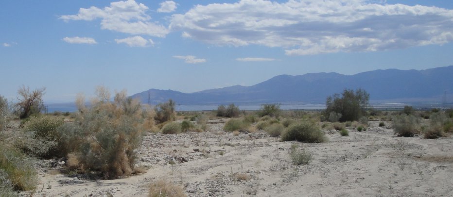
We left the Joshua Tree National Park and keep on going on a little road toward the Salton Sea. (Above is Interstate 10 in the distance.) The area is below sea level and w/o irrigation it is a hot and desolate place. With irrigation, it is a hot and productive place. This is the Imperial Valley, one of the most bountiful agricultural areas in the world, where a lot of our lettuce, grapes, berries and broccoli come from.

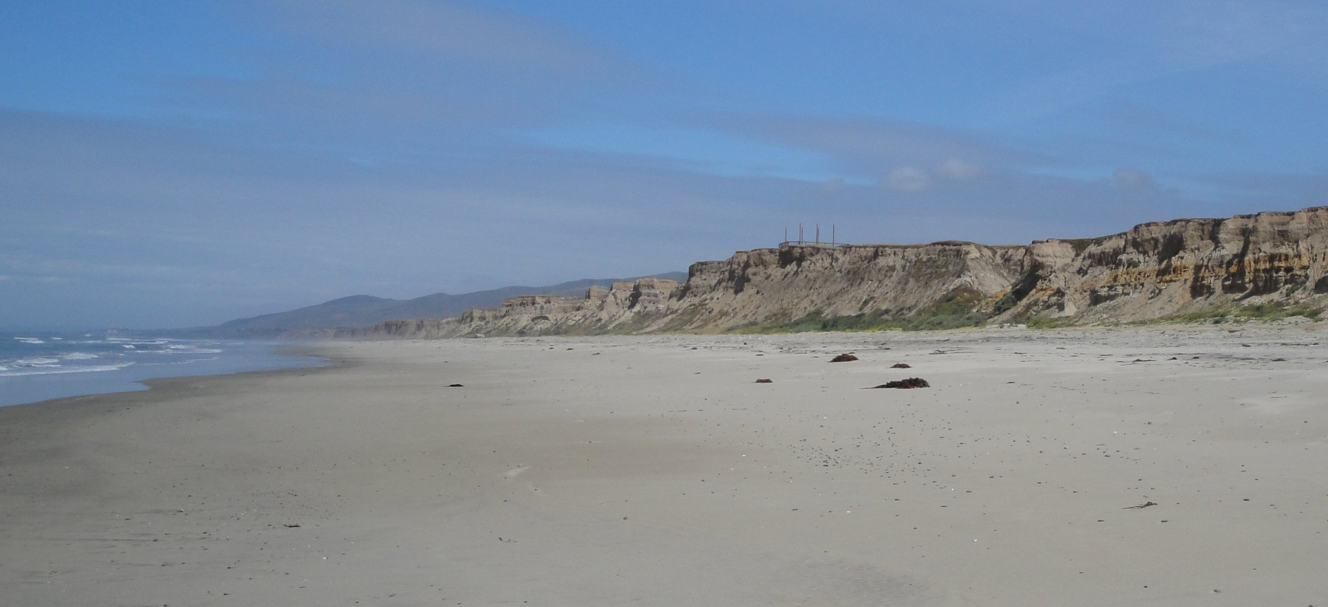
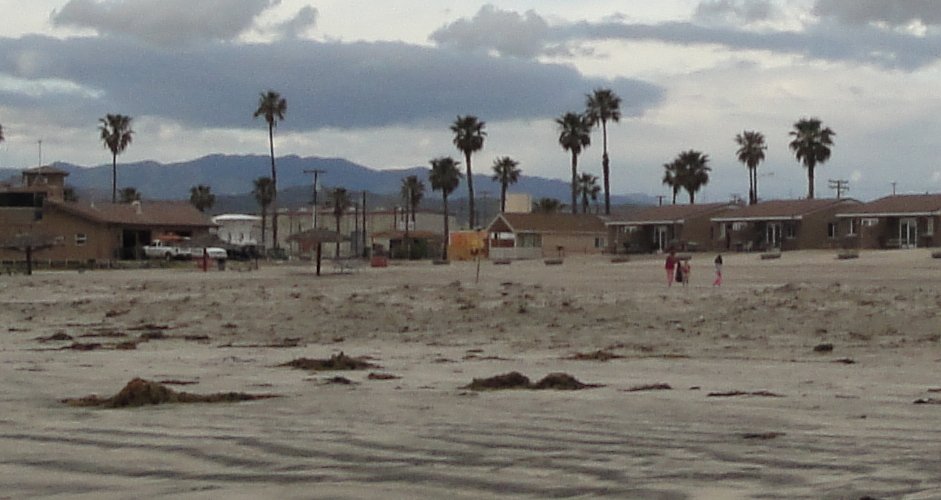
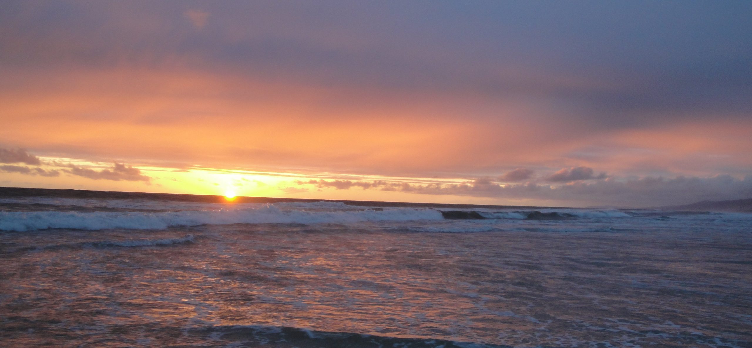
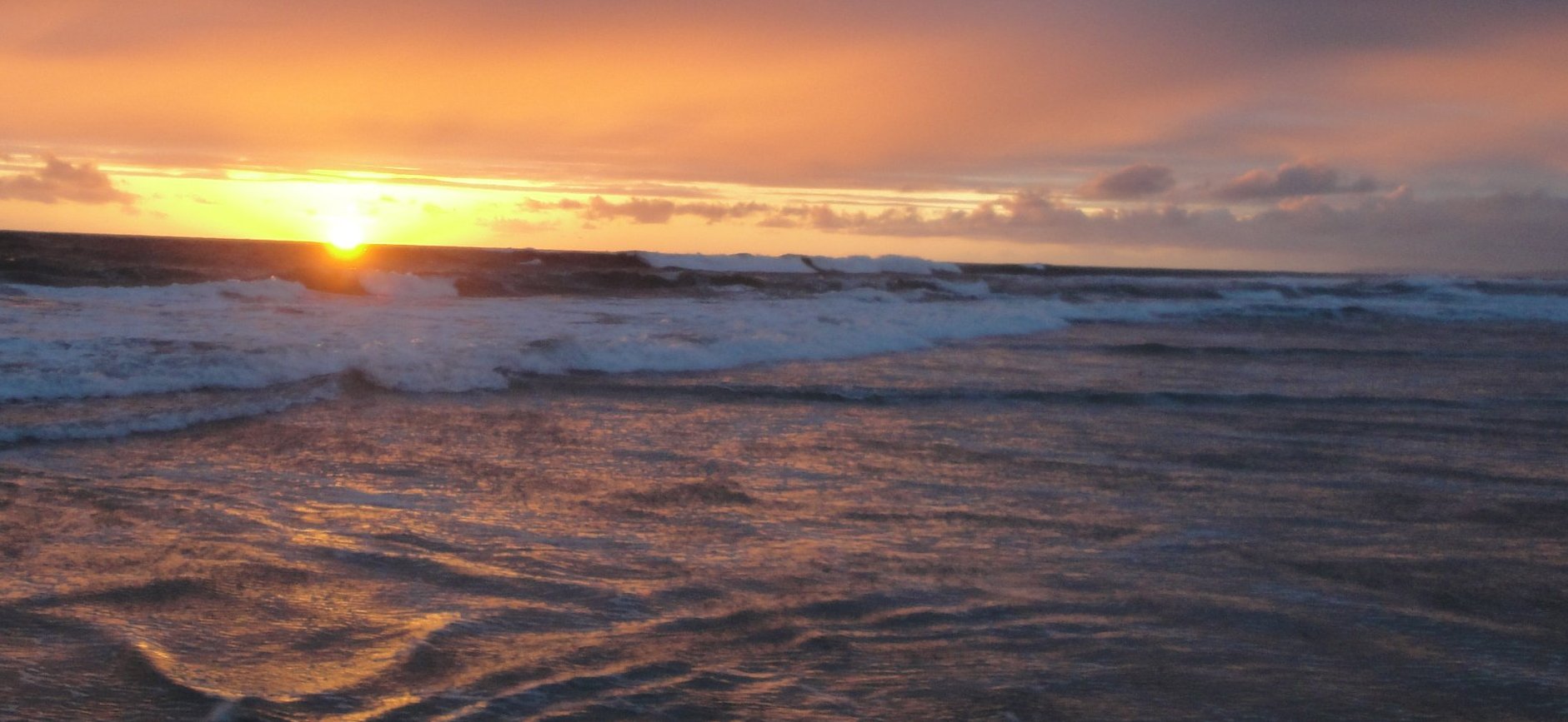
The Salton Sea is a fascinating accident related to the irrigation. In 1904 the irrigation dikes broke and almost all the water from the flow of Colorado River poured into the below-sea-level desert depression for almost three years. The escaping water had created a vast fresh-water lake. It is so big that you cannot see across it. Had they not fixed the dike, the Colorado River probably might have simply changed course and eventually found its way to the Gulf of California by alternate means. (This, BTW, happened periodically with the Mississippi. If not for human intervention, the Mississippi probably now be following the route of the Atchafalaya River, bypassing New Orleans.) Geologists say that the Salton Sea has been formed and dried up many times in the past w/o the intervention of man. You can see the Salton Sea chronology at this link.

At first it was great. People put in fish and the bred fast in the warm and empty waters. But the water in the Salton Sea didn’t stay fresh for long. The salts and minerals from the lake bottom soon dissolved in the water and with no outlet to the ocean, it was in the same situation as the Dead Sea. It is getting saltier and saltier. Many of the fish are dying out. The only ones still thriving are tilapia, which can survive almost anywhere if the water is warm enough and are now being used for cat food.

The dying of the Salton Sea is a problem from several points of view. Migratory birds have become very fond of using the Salton Sea as a stopover. If it becomes a dead sea, it cannot serve that purpose. The State of California is trying to “save” the place, but it is hard to see what they could do, short of breaching the dikes again and sucking in the Colorado River. It “benefits” from some irrigation discharge, but this is not water of the highest purity. The Salton Sea is essentially a big puddle, with no reliable sources of replenishment or discharge. It is a very temporary lake and in a moment of geological time it will return to its former condition.

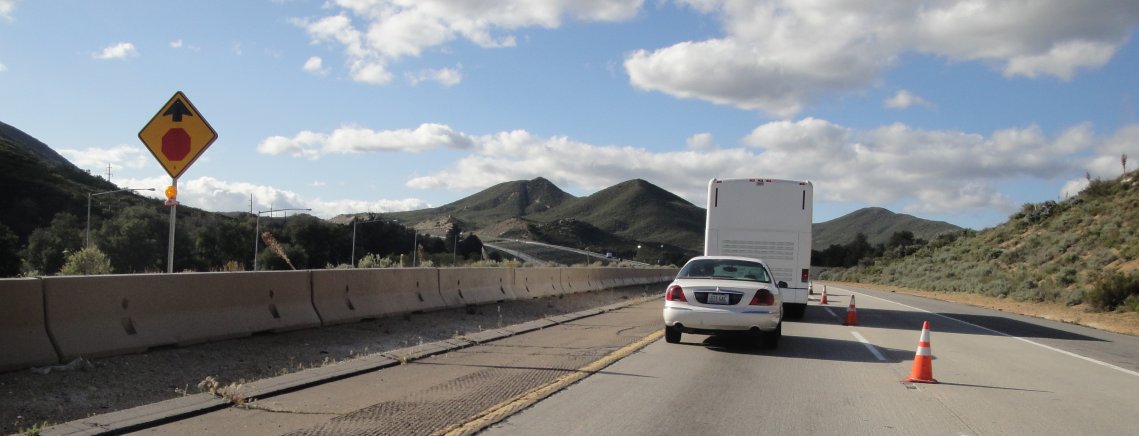
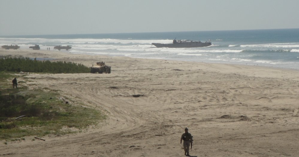
We almost got to Mexico on the last leg of the day’s journey. We caught I-8 in El Centro, California. Not too far along the road, we were stopped at an immigration checkpoint. I didn’t know they had such things except at the border.

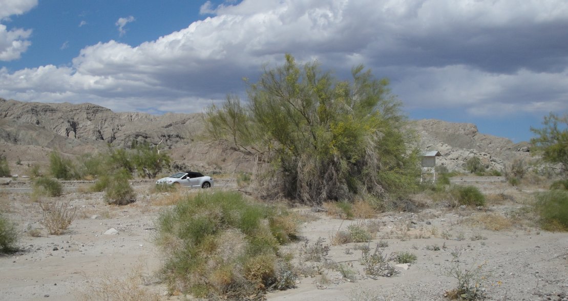
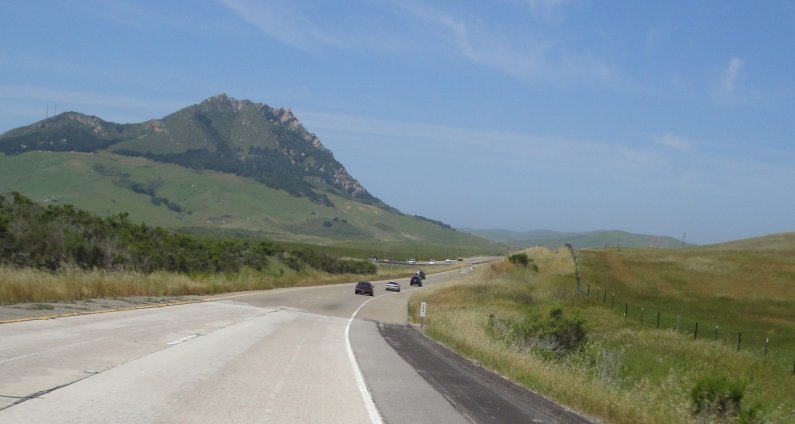
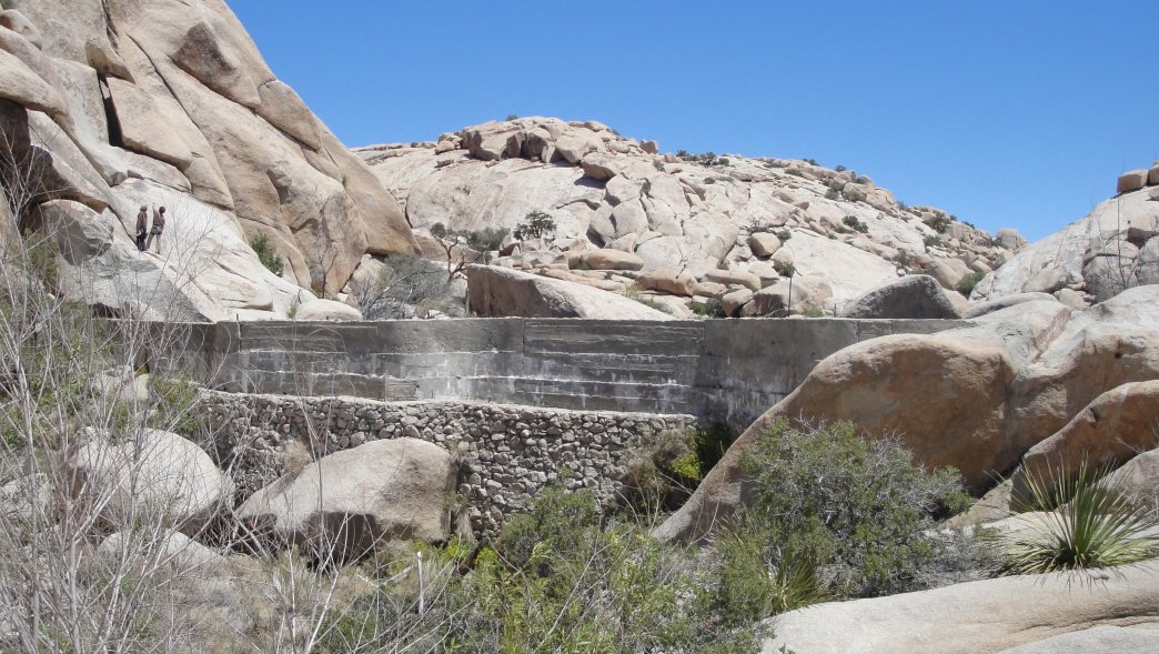
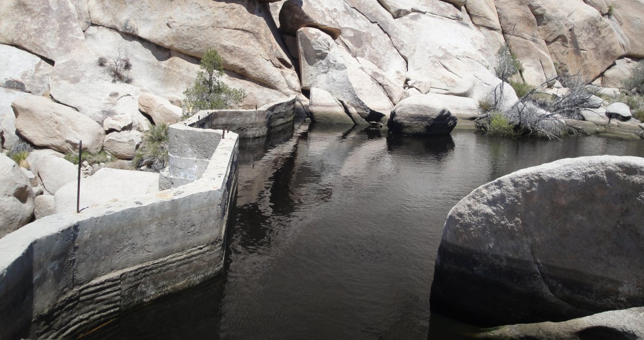
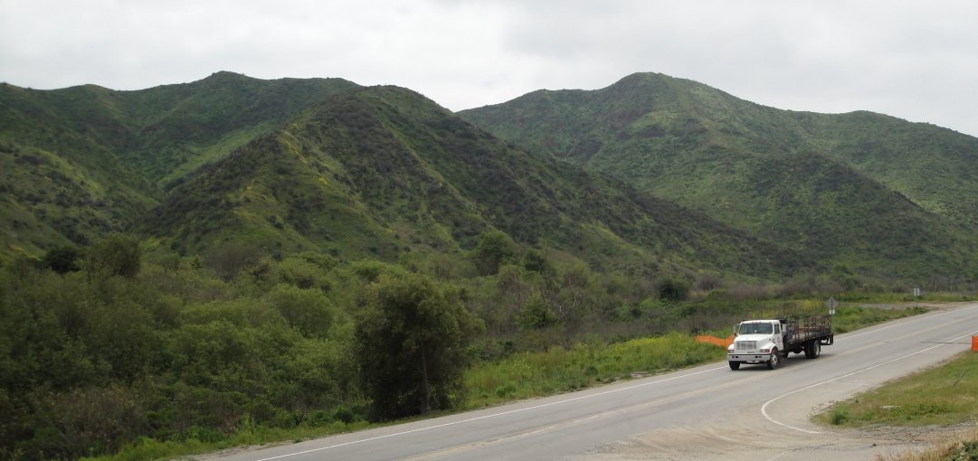
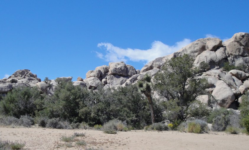
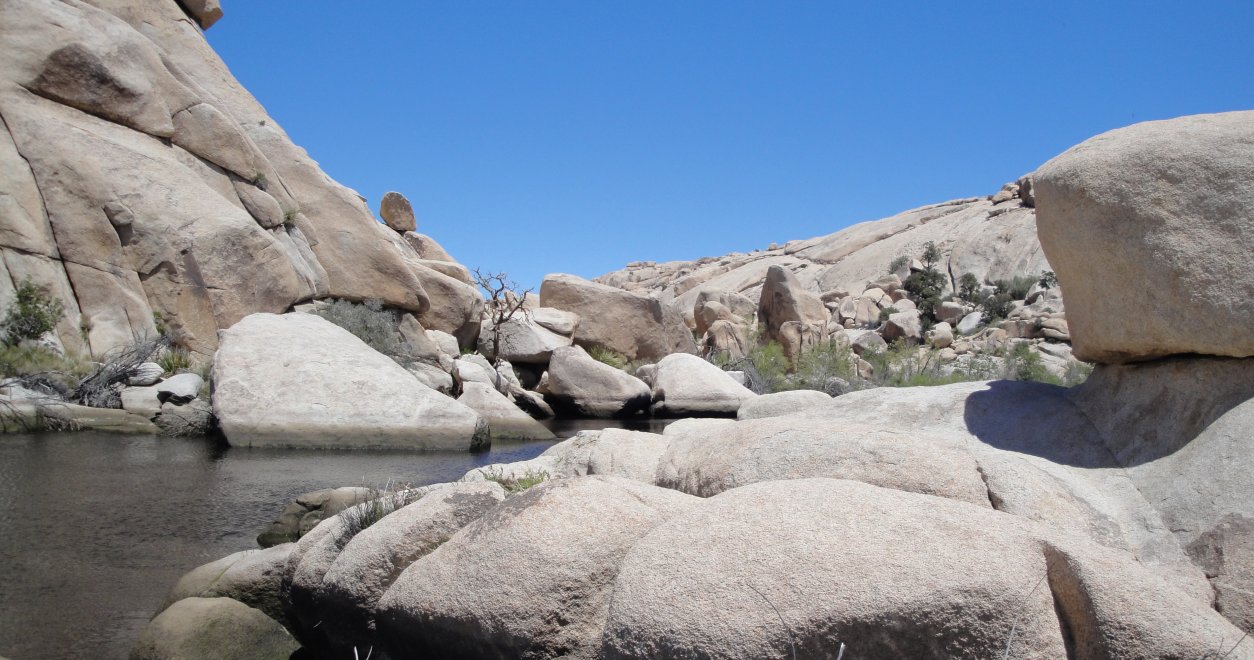
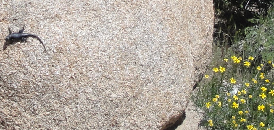
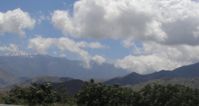
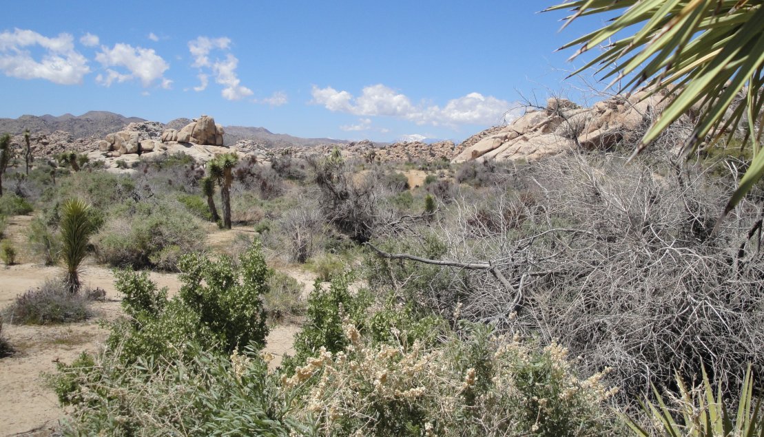
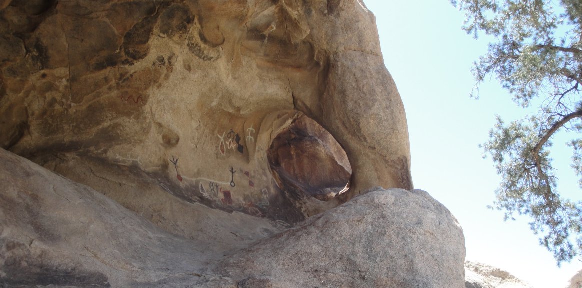
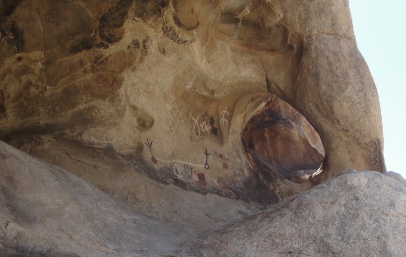
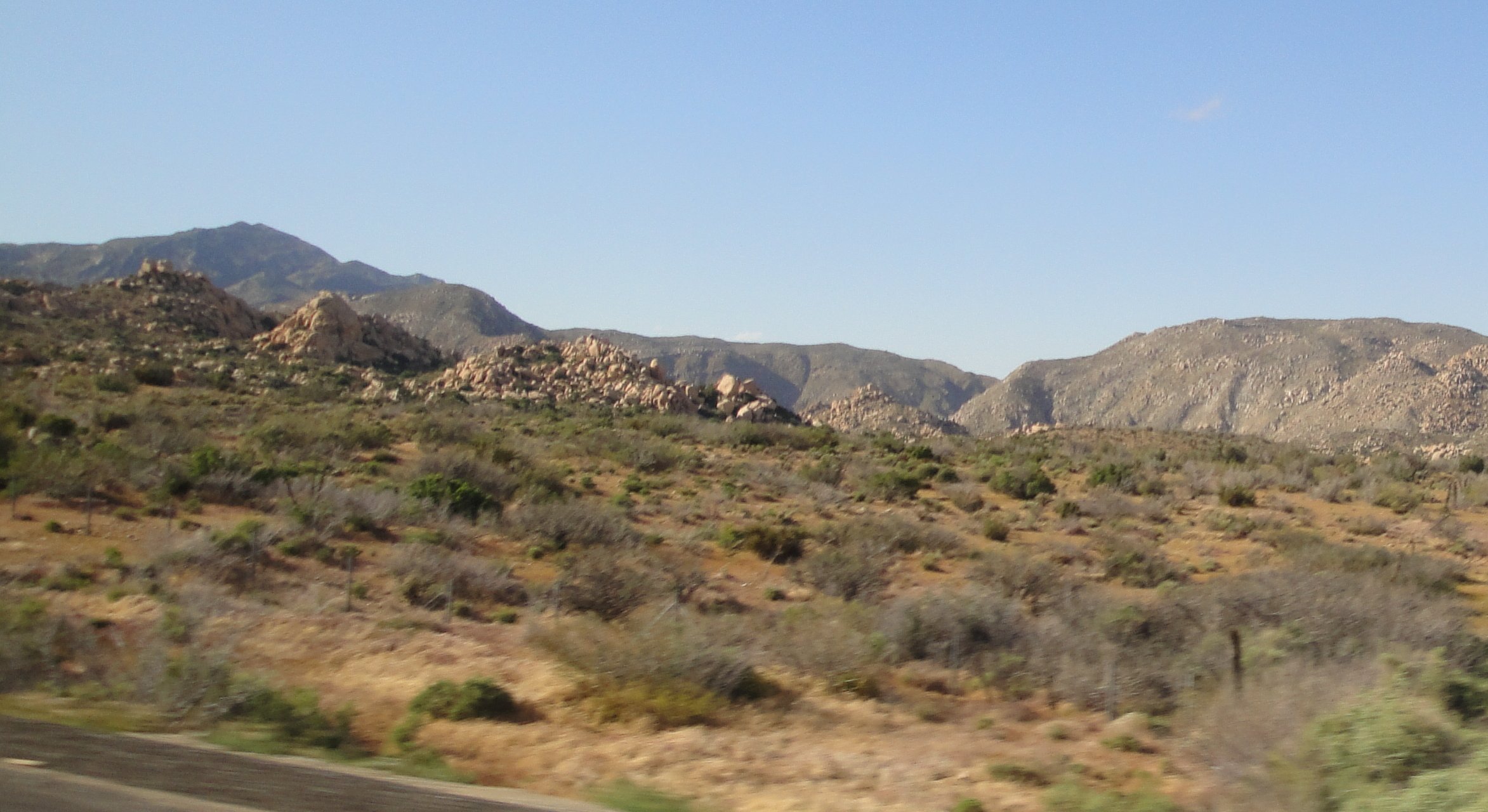
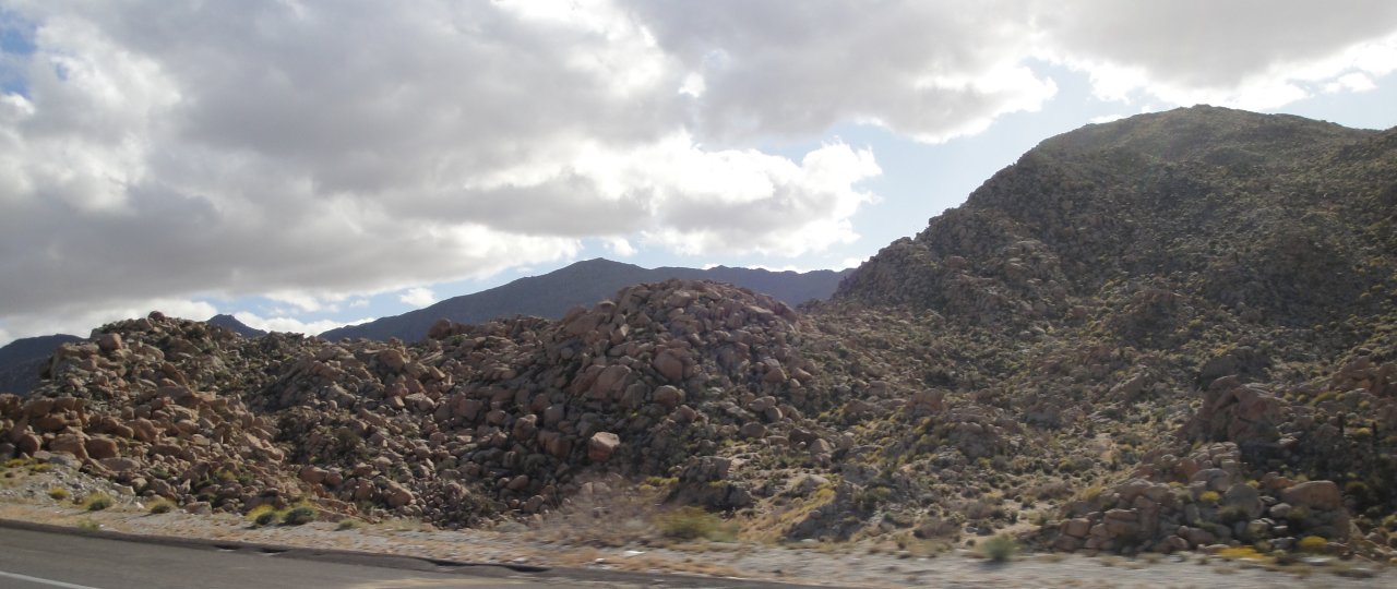
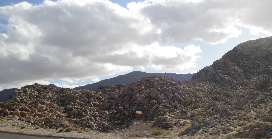
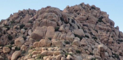
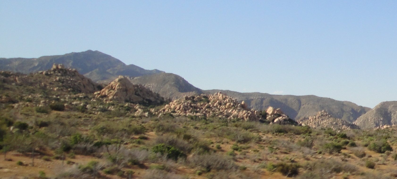
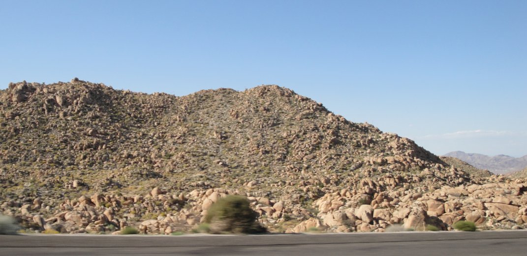
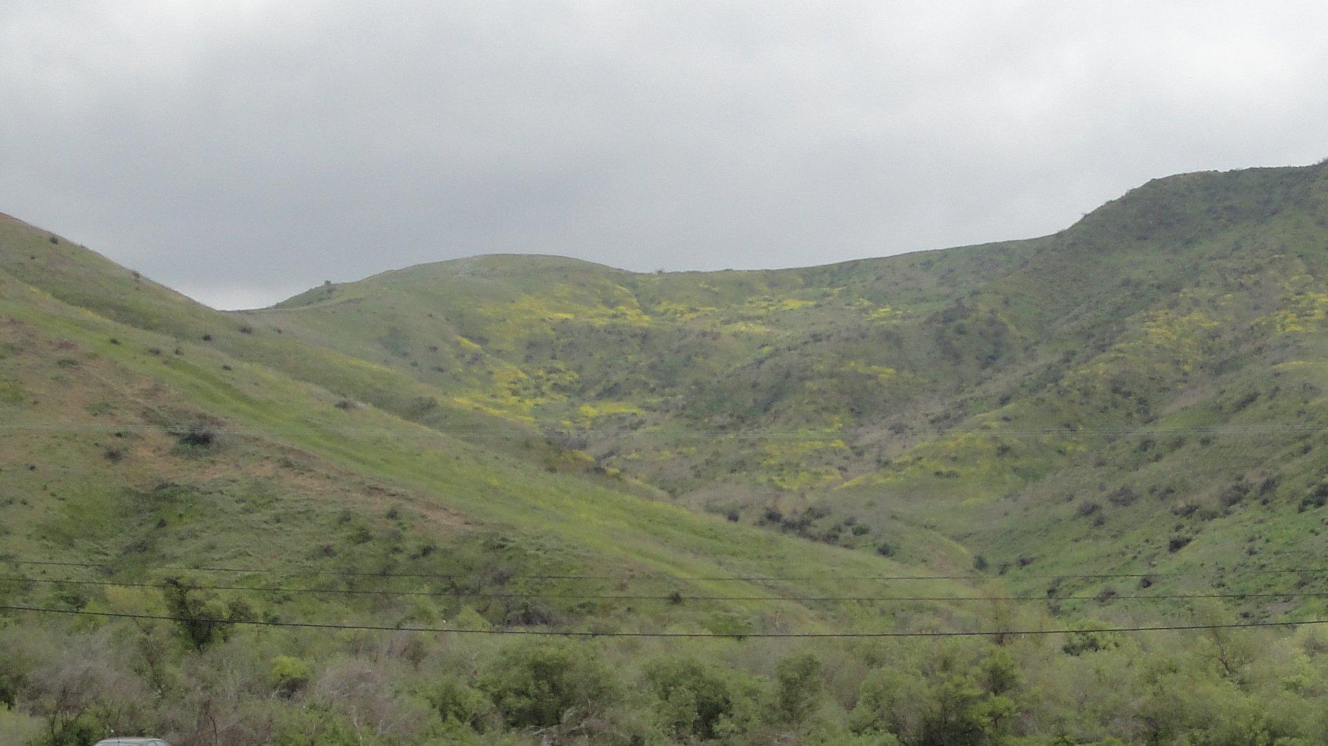
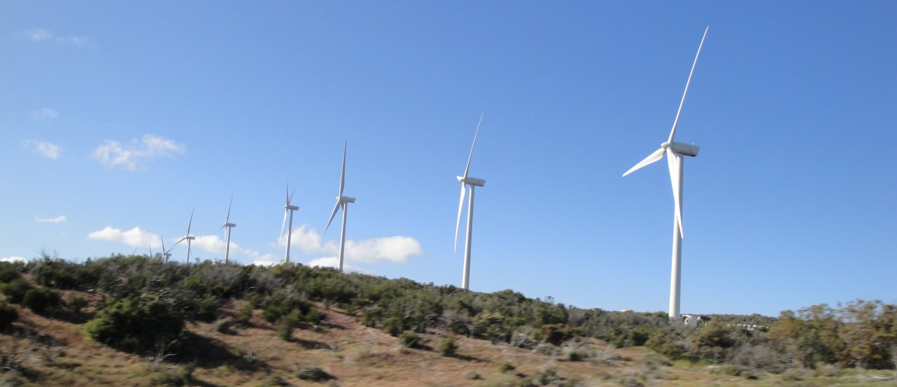
The road to San Diego is very interesting. The first set of mountains look like a pile of stones. If you didn’t know better and they weren’t so massive, you would think that humans dumped and piled these rocks. It just doesn’t look natural. As I wrote earlier, the wind really blows out here. They have signs on the roads warning about the high winds. The winds sandblast the rocks, and everything else, and knock off the rough edges.
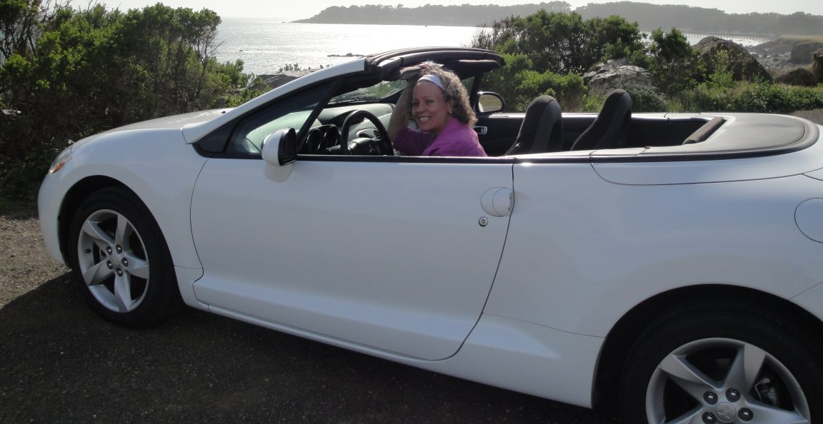
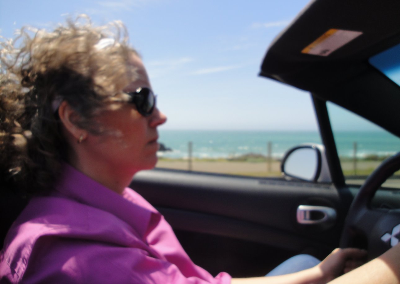
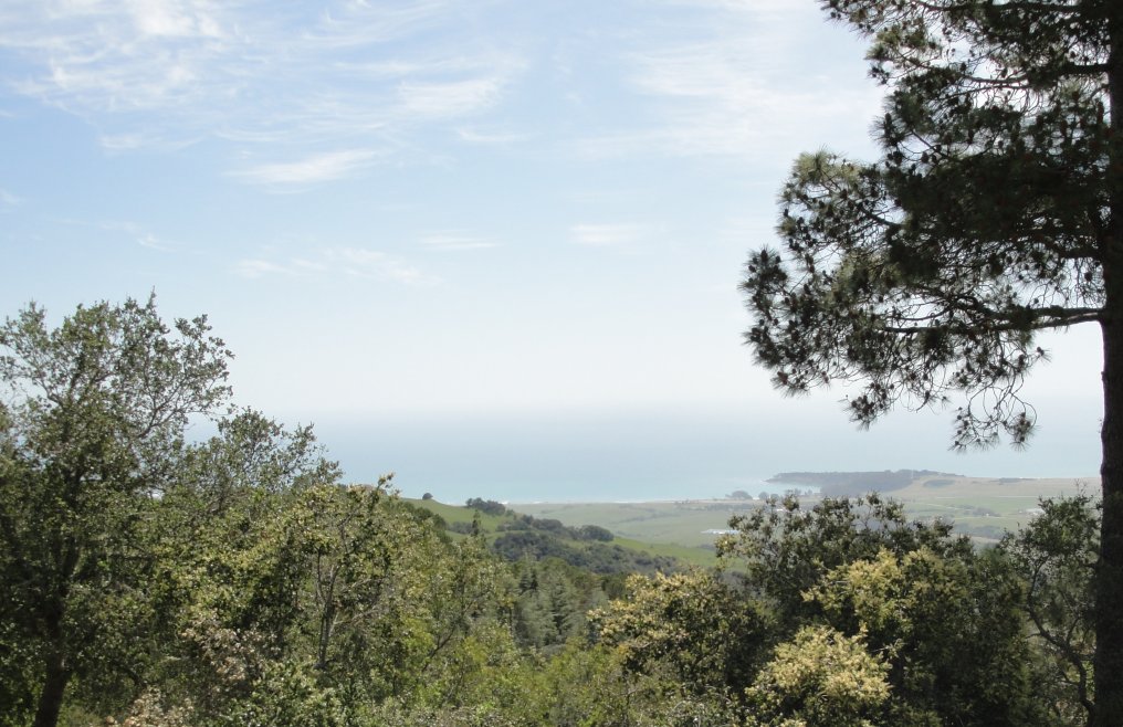
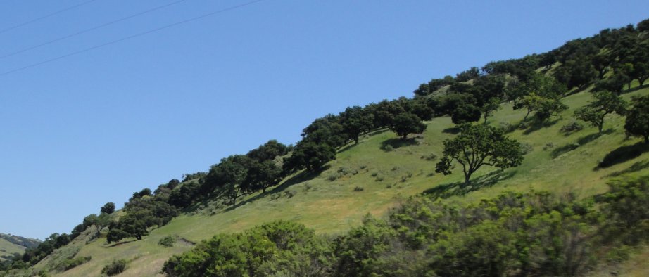
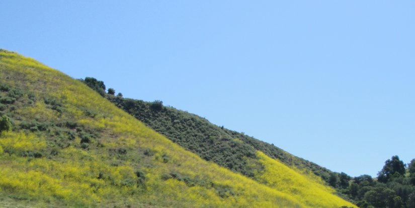
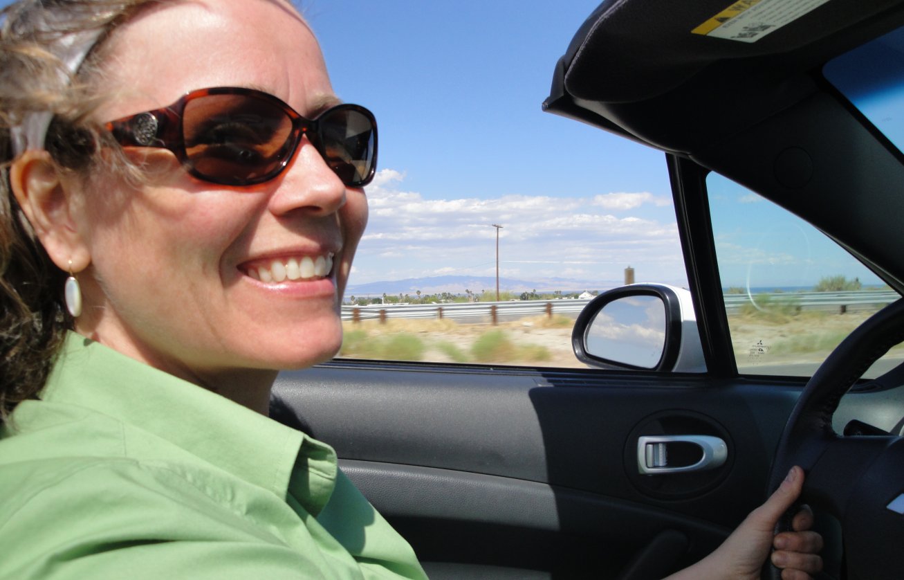
As we got farther west, the mountains became green and beautiful. In other seasons the grass is probably brown, or golden as the Chamber of Commerce might describe it, but the green was really nice. Below is another picture of Chrissy. Sorry to post so many, but she looks good and really liked the car.

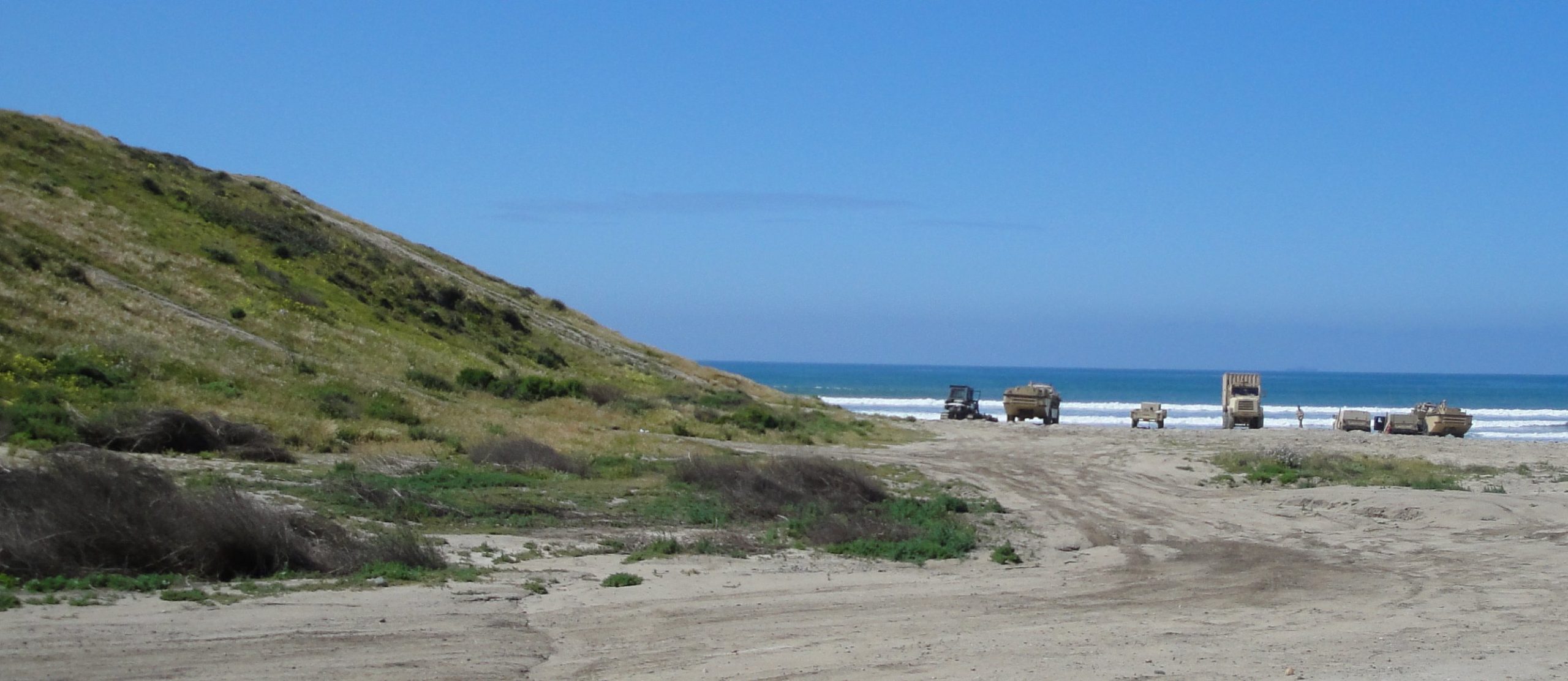
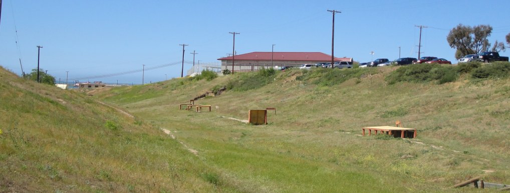
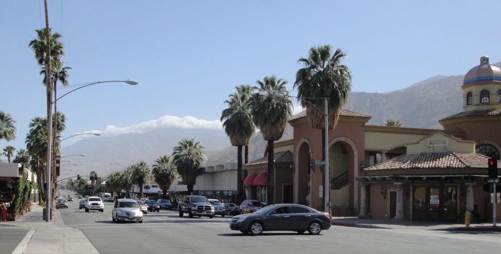
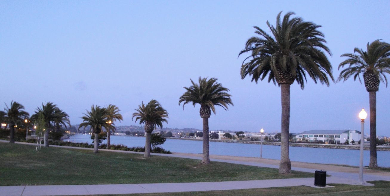
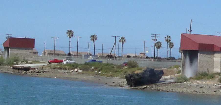
We ended up at the Courtyard Marriott at Liberty Station.This used to be a Naval Training base and now it has been redeveloped into hotels, shops and restaurants. It is very pleasant if a bit too neat, see below. Chrissy has already left for Washington. My flight is a little latter so I am writing this at the airport.It has been an interesting visit to California.
