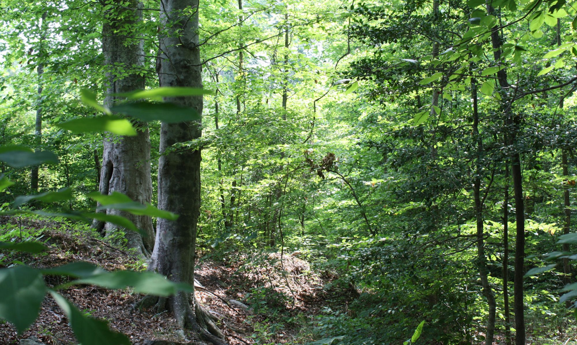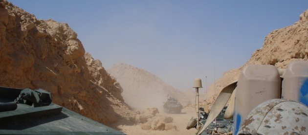
We visited the Akashat phosphate quarry. There are actually two separate quarries, one and five kilometers from the loading plant respectively. We observed no productive activity, but there were fresh vehicle tracks, so some work had been done not long ago.
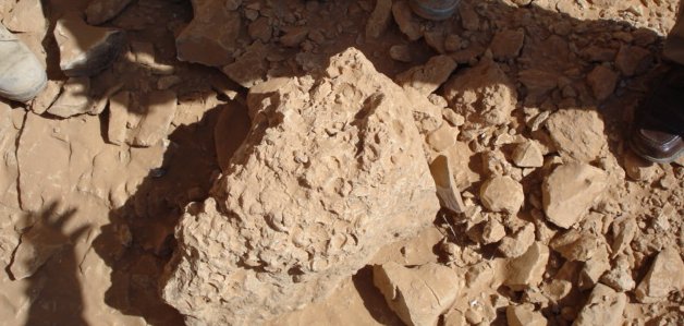
I am not an expert on fossils, but I did notice the Paleozoic brachiopods in the rocks. They looked like the Ordovician fossils I used to collect when I was a kid. I wouldn’t bet on the dating, but there was a big extinction event that wiped out most of the species in the seas at the time, including most types of brachiopods. They call tit the Cambrian-Ordovician extinction event and it took place around 488 million years ago. It was one of five big extinction events. The biggest was the Permian which killed (I just looked it up) 97% of all marine species and 70% of the terrestrial ones. Gee, and there were no humans around to blame.
(BTW – further research indicates that I didn’t have any idea what I was looking at. These deposits are from the Cretaceous period of the Mesozoic Era. I don’t really know.
This is the clearest (believe it or not) I could find.
Events Surrounding the Rutba Uplift in Western Iraq Saad Zair Jassim1
(1) GETECH, Leeds University, Leeds, West Yorkshire, United Kingdom
The Rutba Uplift refers to a broad region covering W Iraq, NE Jordan and NE Syria and represents an Early Triassic inversion of a very pronounced Paleozoic basin in which the full Paleozoic sequence might be present. The shape of the uplift fluctuated between elonagted N-S and NE-SW high throughout the Triassic and Jurassic and ENE-WSW oriented high throughout the Cretaceous. Against the popular belief, the Rutba uplift is neither related to Mardin nor to Hail uplifts in Turkey and Saudi arabia respectively.
A combination of repeated tectonic uplift and eustatic changes in sea level charcterized the uplift from Late Triassic to Cenomanian. Tweleve transgressive-regressive cycles within the above time frame can be distinguished and correlated with basinwise sedimentary cycles.During Campanian-Maastrichtian to M Eocene, the uplift was influenced by N-S and E-W tectonism which was associated with upwelling and phosphorite deposition due to disturbance in the basin resulting from Late Cretaceous obduction along the Zagros suture. The uplift was finally abandoned by the sea from the Late Eocene and remained tilted towards the NE till the present.
Due to low Mesozoic and Tertiary sedimentary cover, only Paleozoic petroleum systems can be expected as proven by drilling in W Iraq, SE Syria and NE Jordan.)
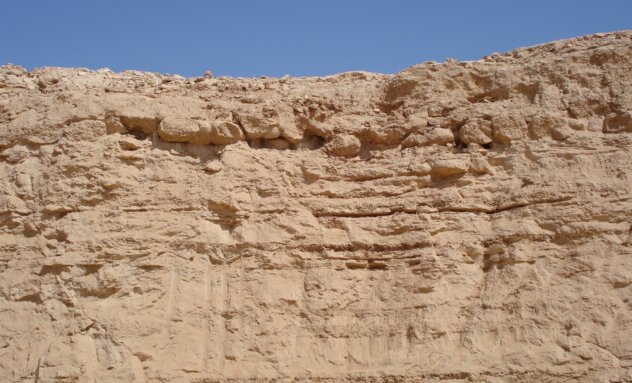
Anyway, this shows how phosphates are deposited. They accumulated in sedimentary rocks at the bottoms of ancient oceans and appear in the rocks in horizontal layers. In this particular quarry the phosphates are located between limestone layers. The limestone is a waste product; they call it overburden. It other types of mining, they call it slag.
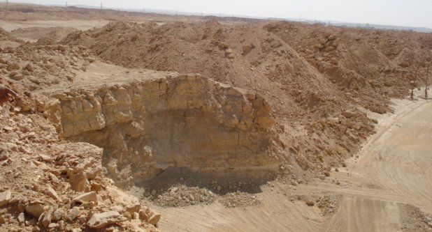
Phosphate crumbles in your hands and you can break it off by hand. When the phosphate plant was working at capacity, it had some big shovels and lots of trucks. They also used explosives to knock down whole cliffs. The big shovels and trucks are not working and they are currently not allowed to use explosives.
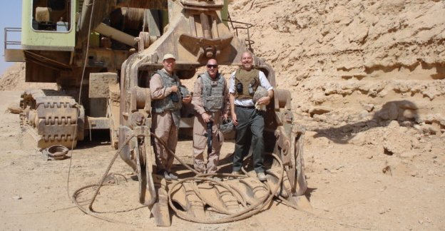
Those are some of the reasons why the quarry is producing only 5% of theoretical capacity, which is 3.4 million tons/year. There is a lot of phosphate in the quarry. The director told us that it would produce phosphate for at least fifty years at the theoretical capacity. This quarry, however, has NEVER produced at theoretical capacity. In its best years, in the middle 1980s, it produced 2.4 million tons. Since the 1990s, it has not even come close to that.
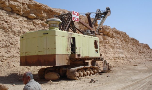
Above – The behemoth sits powerless. It has not worked for years and now is just a menace to travel on the road.
This is enough for the time being, since the phosphate plant in Al Qaim is not working at capacity. But there is a great and growing demand for fertilizer. The Akashat quarry has easy to reach deposits. I expect there will be a lot of activity here a short time from now.
