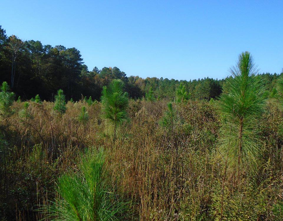
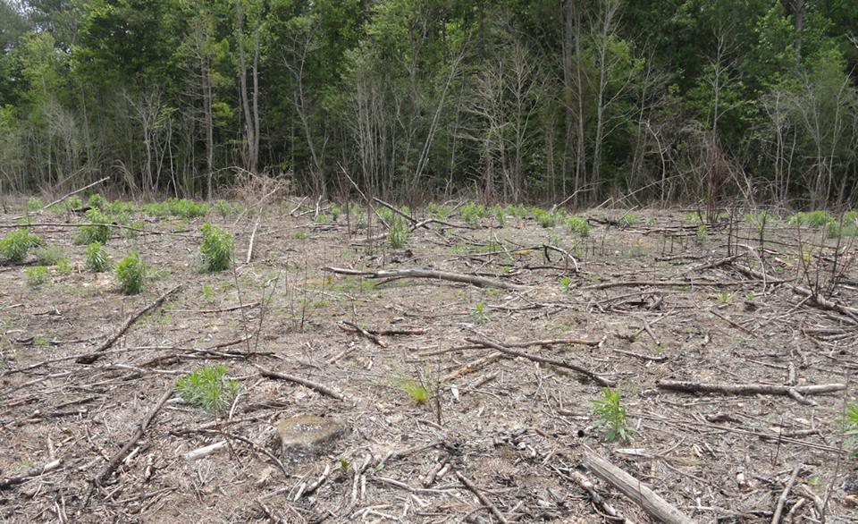
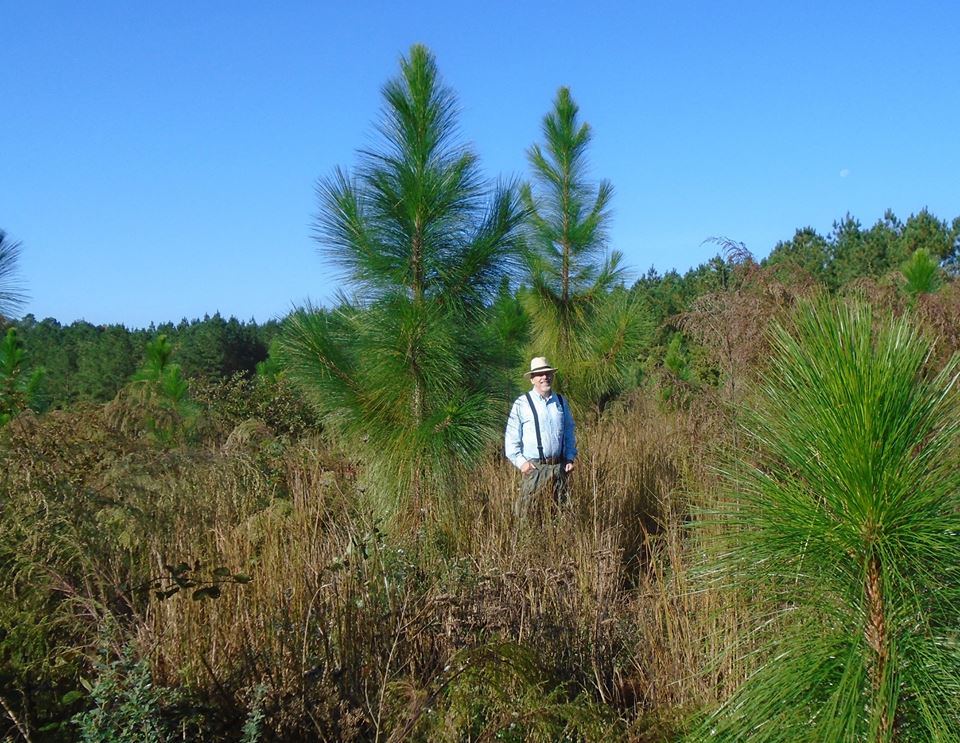
Also in Facebook https://www.facebook.com/john.matel/posts/10211094185892165 Looking through some old photos, I found the one on top from spring 2012. You can see the little longleaf pines. Most of the bigger green clumps are not trees, just other plants. The second photos is a close-up of one of the pines. The last two photos are familiar, since I posted them a couple weeks ago. They show the same places last month. So they have been in the ground a little more than four years, but five growing seasons.
Longleaf have not been common in Brunswick County for many years, so our trees are sort of a test. My trees are northern variety, but not Virginia native longleaf. It would be nice to have “real” Virginia trees, but being “native” is overrated. The environment is similar on both sides of the border. USDA hardiness zone 7b encompasses Southside Virginia and North Carolina more or less to the Neuse River. Trees grown from seed sourced from that part of NC are indistinguishable from Virginia natives. Anyway, if they grow well the next generation will be Virginia native.
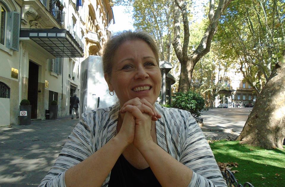
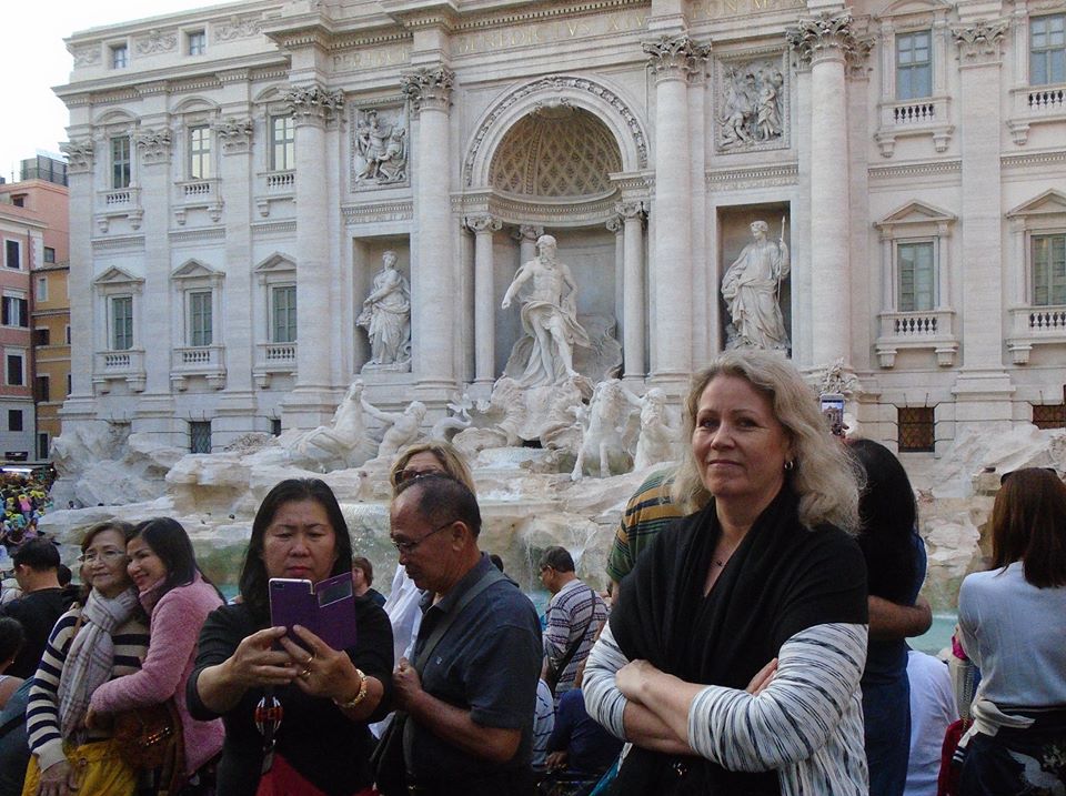
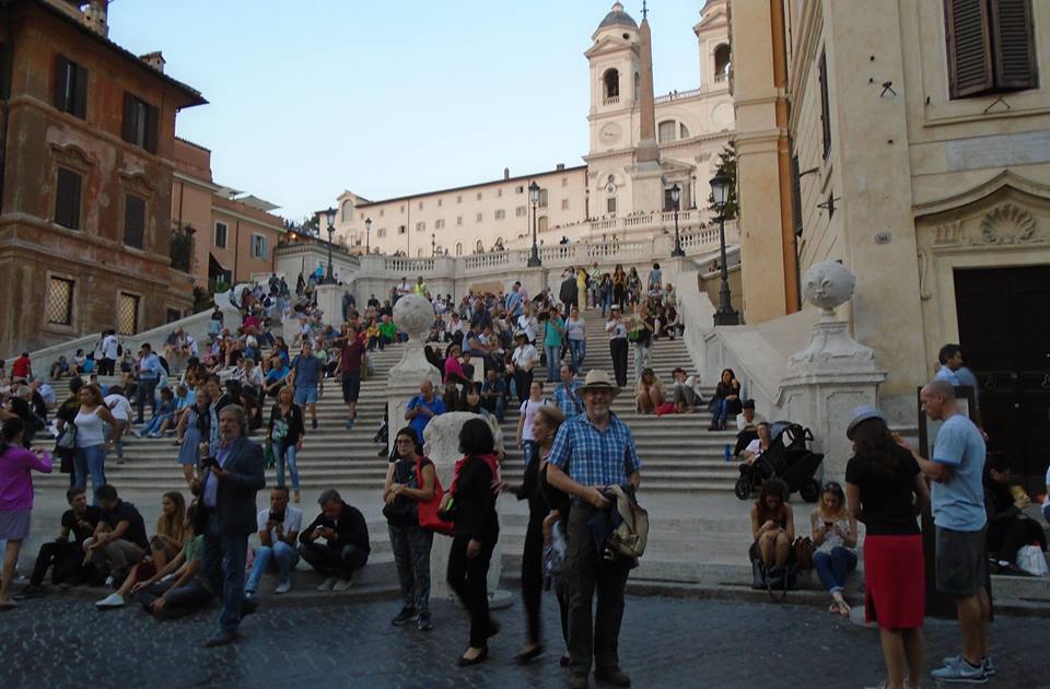
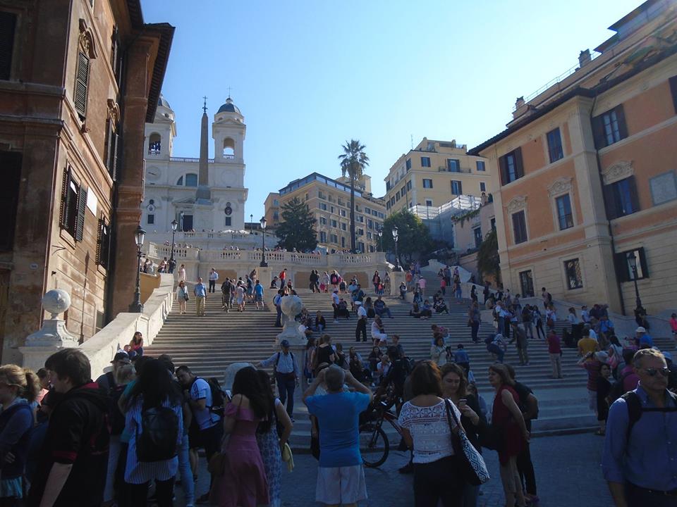
We saw the Spanish steps and the Trevi Fountain, among other things. Rome is familiar in many ways. For one thing, I have so often seen photos and read about the famous landmarks.
But it is also true that the city shares styles, influenced styles in other places. It is not surprising that parts are reminiscent of southern Brazil. Lots of Italians immigrated to Brazil and they brought styles with them. Maybe more surprising is how much old-town Krakow looks like Italy. Actually, it is not surprising if you know the history. Polish kings imported Italian architects and artists. Italian influence spread far and wide during the Renaissance.
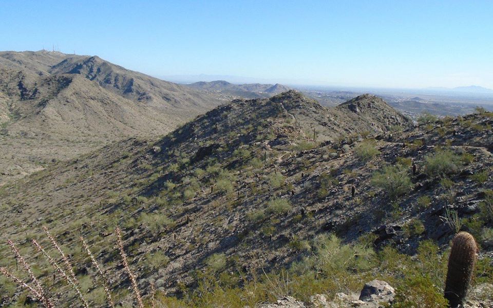
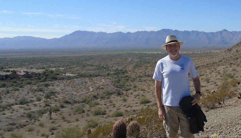
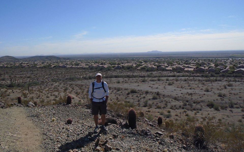
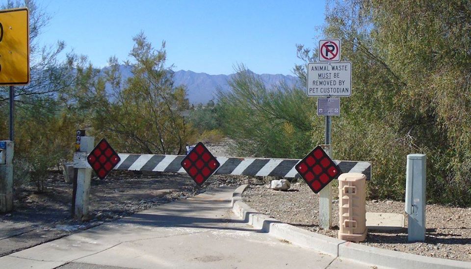
I guess that nobody owns pets anymore. Now humans are custodians who just clean up after them. Alex Sandoval and I took a walk in the hills near his and Lisa’s house.
Boa Vista is a nice city and the airport actually had walkways, not something you always get at major airports in these days of pre-world cup preparations.The city is laid out in a circle and spokes pattern, consciously imitating Paris, with its edge on the Rio Branco. (The Rio Branco (white river) feeds the Rio Negro (black river) which unites with the Rio Solimões to form the Amazon near Manaus.) Streets are wide and buildings mostly new, not surprising since the city is new.It is reminiscent in some ways of Brasília, since it is a planned city, but better thought out and, of course, much smaller.Streets have sidewalks and people can get around on foot if they want.It is also more compact than Brasília for the simple geometric reason that a circle in more compact than the long wings of Brasília.
It is also like Brasília in that it lives mostly from remittances from the central government.Brazil made a conscious effort to settle the territory that became the State of Roraima and connect it to the rest of the country, or at least to Manaus, so they invested in roads and buildings. This made the state a land of opportunity and today about 80% of the population comes from someplace else in Brazil.Like Brasília, however, there is growing up a generation born in Roraima w/o connections elsewhere.Brasília had a couple decades head start on this, however.
The road that leads to Manaus is one of the best in Brazil; at least that is what I was told.I saw some of the highways and they look good, as you can see in the nearby picture.I understand that there is a bottleneck when the road passes through an indigenous reserve.Drivers are not supposed to stop along the way and there is not travel at night.This is a serious impediment.River traffic is seasonal.During the wet season, which is opposite of Brasília’s and goes from April to September, the Rio Branco can handle barge traffic, but there are no good ports so such traffic is underdeveloped.
Problems of infrastructure make things relatively expensive in Roraima.This problem is both mitigated and exacerbated by the neighboring Venezuela and Guiana.Gasoline is so cheap in Venezuela that it is almost free.Brazilians can fill up there tanks there, which creates a kind of unfair competition.Some types of food, especially flour, come from Guiana at lower than Brazilian market rates.All this mitigates the high prices but maybe exacerbates the long-term situation by making it unprofitable for Brazilian merchants to enter stay in some markets.
The city of Boa Vista is built on a savanna.It is like the cerrado, but with a few more trees and shallower soils. It stays in this grass state because of fairly severe dry seasons.This kind of biome makes up around 17% of the state. Most of the rest is thick tropical forest. There dry seasons are less dry and shorter.I didn’t see this myself, since we flew in and out during the night and never drove outside the city. Boa Vista’s biome is another reason the city reminds of Brasília.It has a similar mix of grass and trees.
I came to Boa Vista for the inauguration of an American Corner cum Education USA center in the Boa Vista SENAC.This is part of our long term strategy to reach more into the “new” Brazil.This is why I have visited places like Acre and Rondônia and why we have opened corners in places like Boa Vista and Campo Grande in Mato Grosso do Sul.Brazil has changed and our public diplomacy outreach has to change with it.It is no longer just a coastal country, no longer the country of samba.Today it is more the country of sertaneja, a kind of country music born in the interior.
I had a busy schedule.If you are going to travel to the end of Brazil, it is wise to do something when you are there.I arrived on the 2 am Gol flight on Monday morning and left on the 2:40am Gol flight (same plane going back) on Wednesday, which gave me two full days in Roraima at the cost of two full nights of sleep.Roraima is far away and it takes about five hours to get there, counting a short stop in Manaus.
Will right more later.
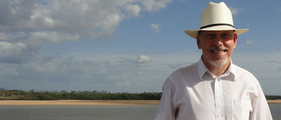
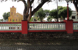
My pictures show me in front of the Rio Branco. You have to wear hats in the tropical sun, especially if you are folliclely challenged as I am. I am getting to like various hats. My other picture show a colorful building near the river. I found that I didn’t take many pictures of the city itself.
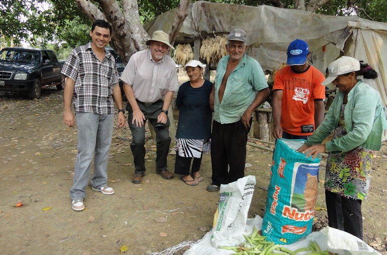
Many people would like to be farmers at five in the afternoon, but few want to be farmers at five in the morning. Farming is hard work and it was even harder work years ago. It is still hard work for many of the small farmers in the Amazon.
These guys, or their parents, came up the new Brasília to Belém highway thirty of forty years ago. They sometimes walked from places like Goiás of the Northeast looking for a new life in the new lands. Some made it big and there are a lot of productive large and modern farms on this Brazilian agricultural frontier. I talked to some of the smaller farmers.
Paragominas has a program that tries to help small farmers. The municipality guarantees that they will buy their produce for use in the schools, i.e. provides a certain market. But it is hard to keep them down on the farm and easy to understand why. It is hard work. The couple I talked to, the one you see in the picture above, were originally from the NE, I think they said from Ceará. They worked their whole lives on the farm, but their kids were college educated and unenthusiastic about keeping up the tradition of farming. Birth rates in Brazil are dropping and it seems likely that fewer and fewer farmers will be on the land as time goes on. This is probably good. More will be produced on fewer hectares.
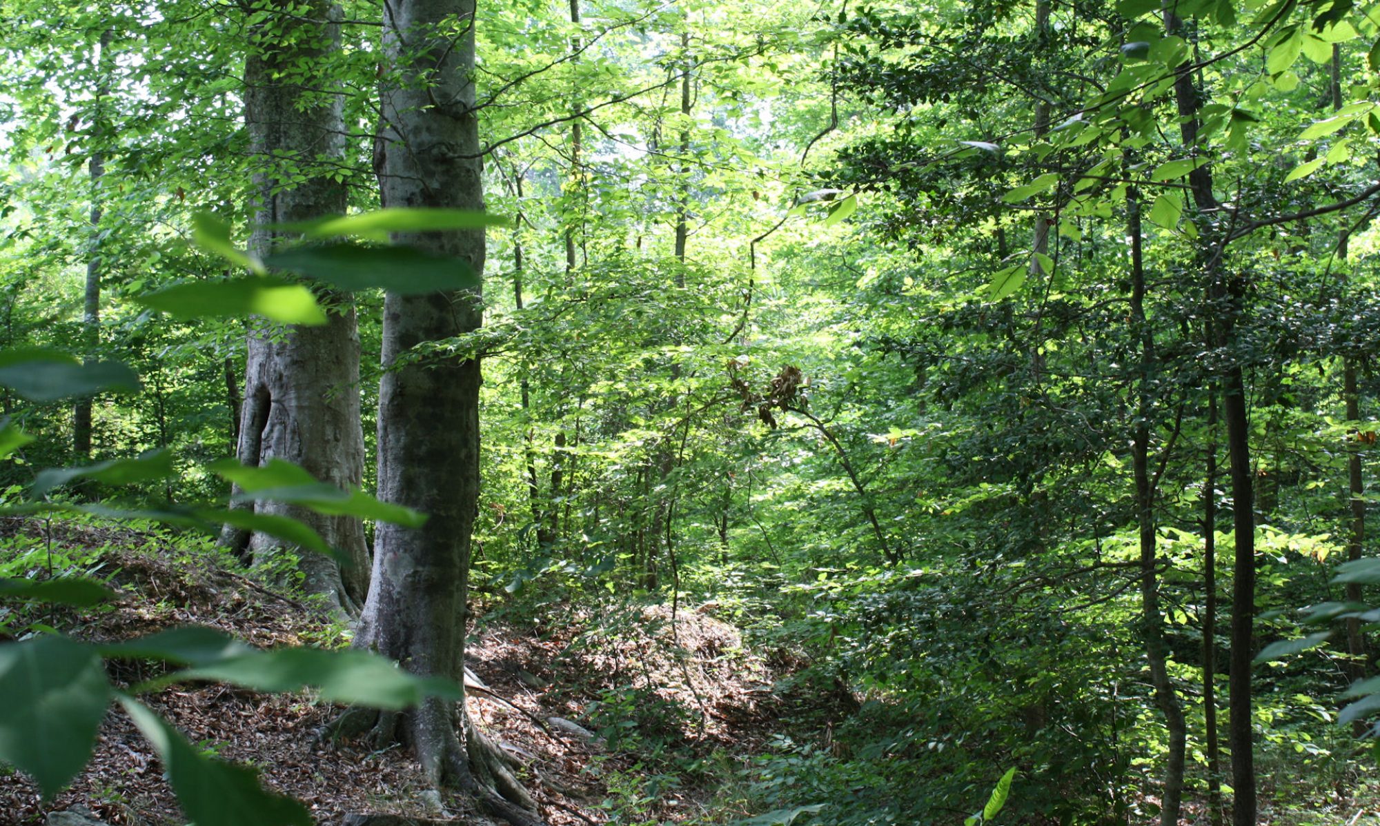
I keep seeing parallels between American environmental history and what is happening today in Brazil. We are pioneer nations, taming the wilderness. It is out of style these days to tame the wilderness, but we have the luxury of it being out of style because we have tamed the wilderness. We cannot go back. Our challenge now is to adapt what we did to make it sustainable. Forests are growing back in the U.S. There are now more trees growing in Eastern North America than there were in 1776. Marginal lands have returned to forests and our agriculture is becoming sustainable. Brazil is on this path. We passed through the time of maximum destruction and we now it will begin to reverse. In the U.S., the nadir of forests was around 1920. Then things got better. I don’t know if Brazil has turned the corner yet, but it will soon.
Sustainability sits on three pillars: environment, social and economic development. We often forget the last two when talking about sustainably, but in the long and medium run, w/o development in the social and economic spheres, the environment cannot be sustained. We humans do not properly understand the complexity of the environment and we never will. But sometimes we come close enough to truth to know some of the things we should do. We come around in circles. I recall the lines from TS Eliot, “We never stop exploring, and at the end of all our explorations we come back to where we started, and we will know that place for the first time”.
My pictures show some of the farmers. The pigs are an Amazon variety. You can see rubber trees tapped int he picture below and the supper picture is a great meal I had at one of the family farms, all with products growing locally and organically.
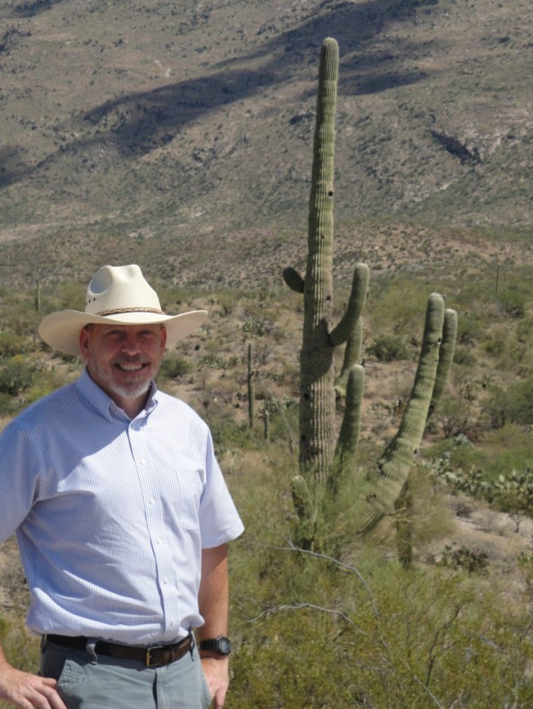
We drove south to Tucson and then east through the Sonora Desert. The Sonora is the desert we all think of as THE desert. It is the hottest of our American deserts, the one with all the cactuses that we know so well from the western movies. We visited my cousin Elise and her husband Carl who live near Tucson. I wrote re that last year here and here. The Tucson area is higher, greener and cooler than Phoenix, although both are in the same biome.
On the side is me with my new hat (purchased in Texas) in the desert. The hat is made of palm leaf and it really does keep the sun off and the head cool. I like it.
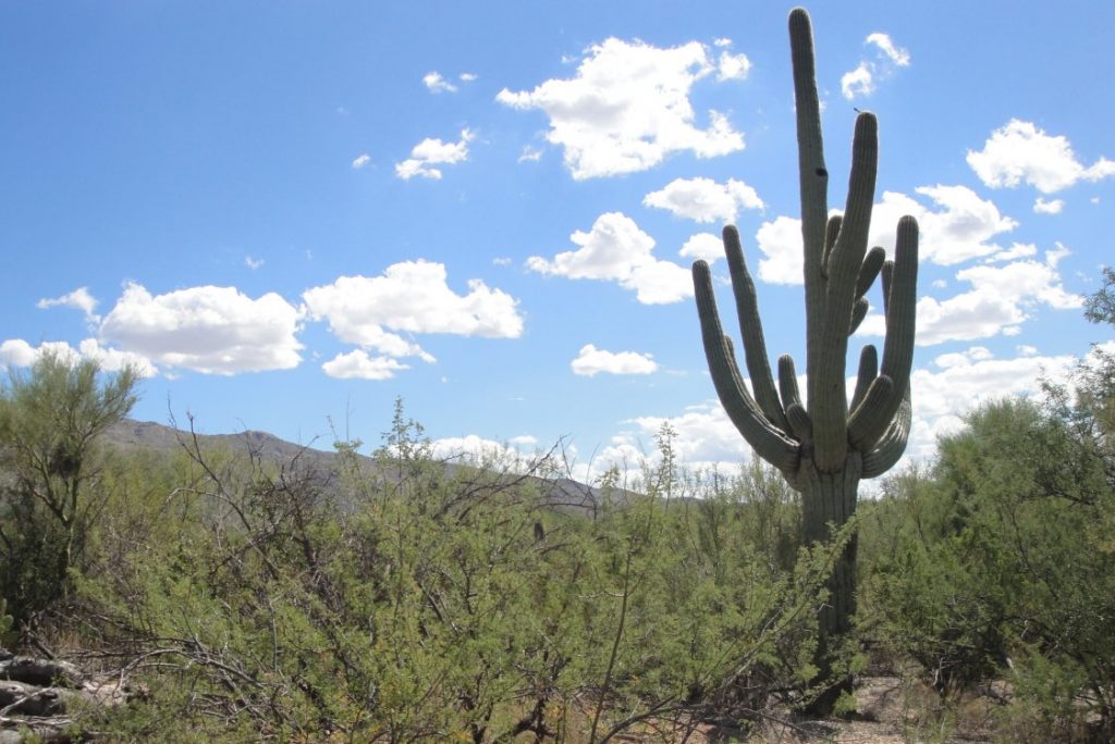
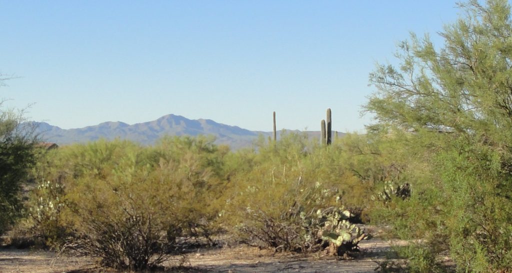
Just outside Tucson is the Saguaro National Park, where I took the pictures of the Sonora Desert vistas. The saguaro cactus is the one with the arms that looks like a man flexing his muscles. It takes many years for them to grow big enough to get arms. You can tell you are in the Sonora when you see the saguaro, which grow naturally nowhere else.
Above and below are Sonora landscapes
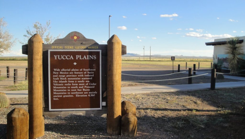
Below – the flat area behind the sign is – believe it or not – the continental divide. At some point out in that field, if you peed some would go toward the Pacific and some toward the Atlantic. We are actually at a fairly high elevation. It is just a flat plateau. I don’t know how exactly they can tell which way the water would flow. I always thought of the continental divide as a sort of ridge.
North and west of the Sonora is the Mojave Desert, which I wrote about last April, with its characteristic brush and Joshua Trees. You hit the Chihuahua Desert as you go east. It is not true that the Taco Bell dog’s wild ancestors roamed this region. The Chihuahua desert is theoretically less harsh, but it seems to have a little less interesting life. I guess that the Sonora is very harsh, but fairly consistent, which allows varied life forms to develop.