Went up to Mauthe Lake to get my fix of glacier landscape. Mauthe Lake is a gift of the glaciers. During the last ice age, which ended only 11,000 years ago, Wisconsin was covered by ice. Ice ages last a long time. The last ice age lasted 74,000 years, more or less. The time between ice ages is short, about 10,000 years. We are overdue for the start of a new ice age. We don’t think much about this in the age of global warming, but we should recall that we can influence but not control the really big swings.
When the last period of rapid global warming occurred, the ice rapidly retreated. Some big chunks of ice persisted, buried under the ground. When that ice melted, they became depressions called kettles and the bigger ones became lakes, like Mauthe Lake. You can see all the glacial forms in the Kettle Moraine State Forest, near Milwaukee.
The kettle is a depression often a little lake or a bog. I explained its origin above. A moraine is where the glacier stopped. They are like ripples. Hard to ride your bike up and down, as I can attest from my youthful experience. The glaciers advanced and retreated, so there are lots of ripples. The farthest advance is called a terminal moraine. Sea levels were much lower during the ice age. Long Island is mostly a terminal moraine, a big one. It was not an island during the ice age. There were rivers that ran across the tops of glaciers. Sediment accumulated in the bottoms and when the glaciers melted they dropped to ground level leaving serpentine hills. These are called eskers. Sediment also accumulated where there was a hole in the glacier or a little lake. When the glacier melted, this sediment dropped to ground forming teardrop shaped hills called drumlins. There are lots of drumlins in Jefferson and Dane Counties. Capitol Hill in Madison is a drumlin.
Part of Wisconsin was NOT covered by ice. This is the driftless areas around Lacrosse. Chrissy grew up in this region. Locally, they call the the “Coolie region,” A coolies is a long, narrow valley formed by glacial melt water. Grand Coolie in Washington State is an example of a very large coolie, formed when a giant ice dam collapsed releasing a torrent of water that scoured everything until it ran into the Pacific Ocean.
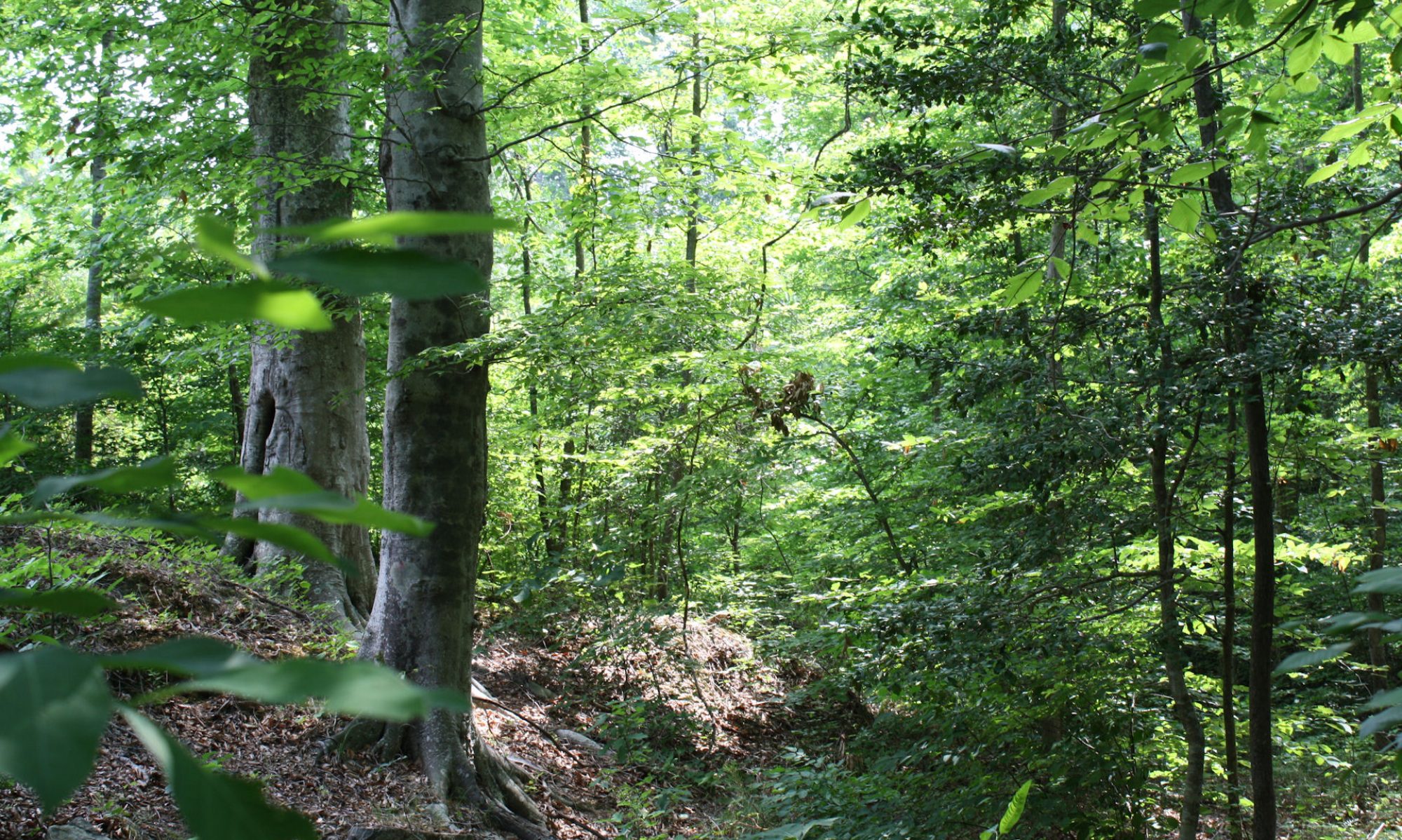
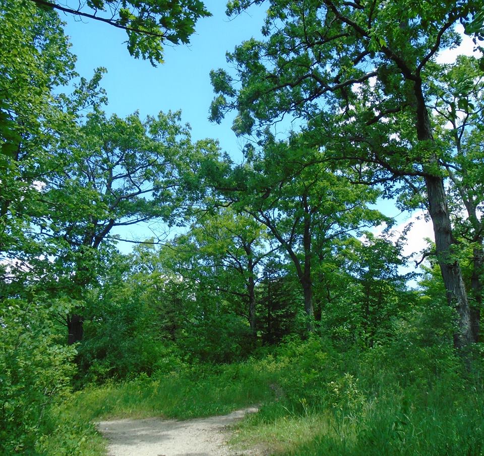
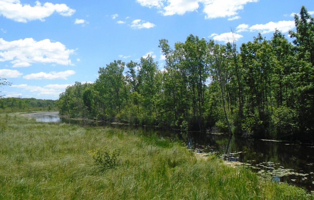
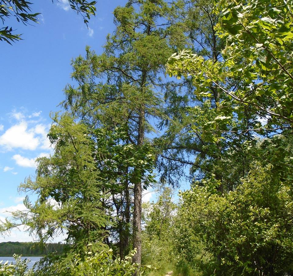
My pictures are from around Mauthe Lake. I walked around it. It was the kind of “solitude” I like. There were few people on the trail, but I could hear kids having fun in the lake in the distance. The second picture shows tamarack trees. Tamaracks are deciduous conifers. They are tolerant of bad and acidic soils, but very intolerant of shade, so they tend to grow on bad soils and in bogs where there is less competition. Picture #3 is scrub oaks. They are small, but old. Some of their size is probably due to genetics, but the soil is also little help. Picture #4 is the Milwaukee River. Mauthe Lake is not the source of the Milwaukee River, but it is close. The river runs through it. I first visited this in 1965, when I was ten years old. I was confused when I learned about the Milwaukee River. I recalled the polluted water in Milwaukee and worried that I was swimming in that. Of course, that was foolish. The water is clean up here.
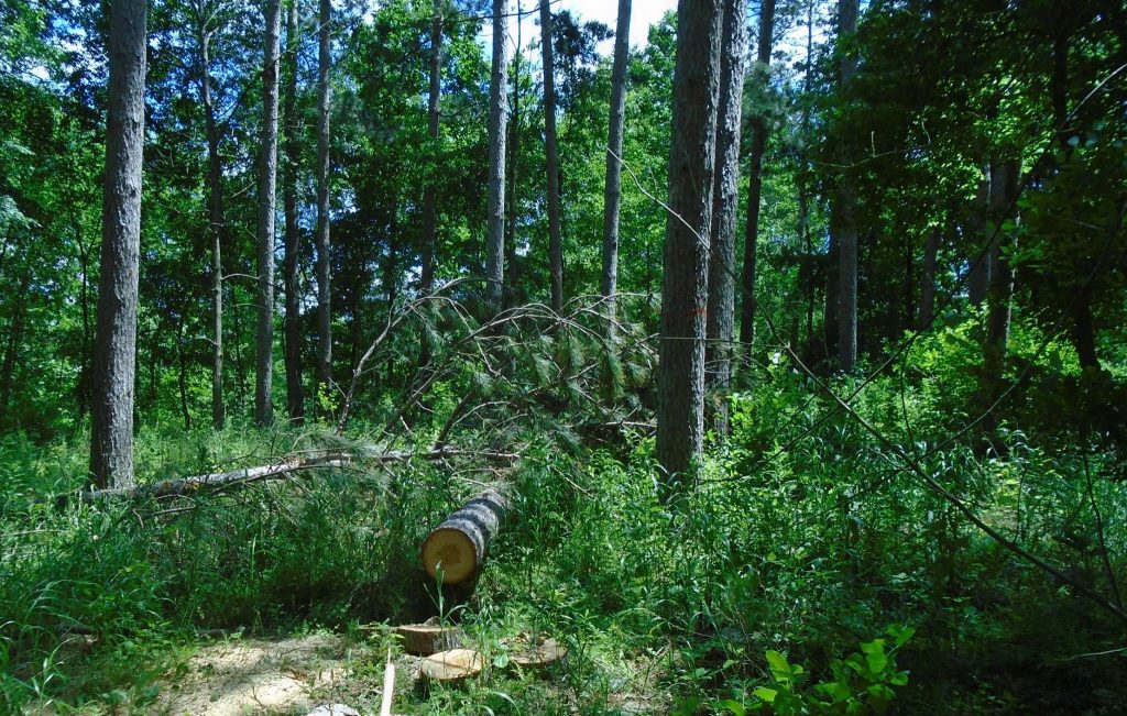
Last picture shows a red pine plantation. It was planted in 1941 and has been thinned four times. I asked the ranger if they burned under the trees. No. I asked if they would be harvested. Yes but no clear cutting. So that means that the future will not include red pines on this acreage.