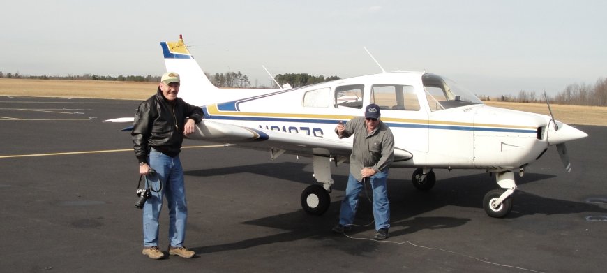
Brian (that is him above) has a plane and knows how to fly, so I got a chance to see the tree farms from the air. This is something I have long wanted to do. I can get the pictures from Google earth, but they are not completely up to date, give only one angle and are just not the same as a live view. I will included some pictures I took in the next post. They are a little hazy because I took them through the glass of the windows.
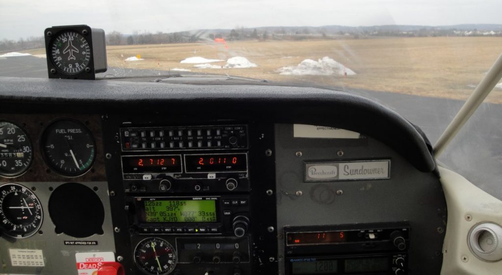
Above is take off and below is landing.
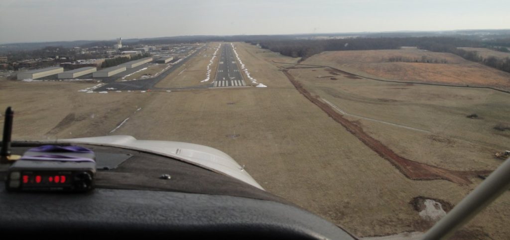
I have never flown so low over places I knew so well. We left from Leesburg Airport. All the little planes are lined up and it is amazingly informal. Flying out around Washington is highly regulated, but once you get outside the security zones, you can fly were you want. We had GPS, but actually found the farms by looking for landmarks on the ground. It is more fun that way.
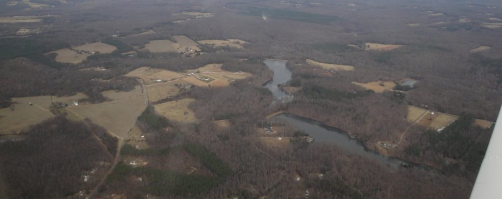
You notice a few things from the air that are less clearly evident to the terrestrially tied road denizens. There is a lot more empty space than we think. Most of our structures are near the roads, but roads make up only a small amount of the countryside. On the other hand, lots of very nice houses are hidden down long paths, away from the main roads, obscured by trees or topography. This seemed to be especially true in Loudon County. Of course, my sample was skewed since I took off and landed there, but Loudon County is a classic wealthy exurban area, so I think this kind of settlement is indeed more common there.
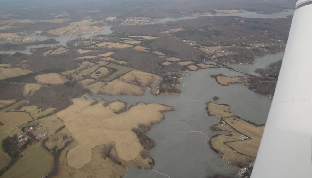
Another thing I noticed was the large numbers of ponds and impounded water. Natural lakes and ponds not associated with meandering river are uncommon south of the Mason-Dixon Line because they are largely gouged out by glaciers and the most recent glaciations didn’t get that far south. But people like lakes and they have created lots of them were they didn’t exist before. You can tell the ponds because they tend to have at least one straight side from the dam that holds back the water. Larger impounds have very irregular banks. Water wears away the jagged banks over time, but not enough time has passed for these man-made bodies of water.
Below is Vulcan Quarry near Freeman. That is where my rip-rap comes from. The material is porphyritic granite. I am not sure exactly the significance of that, but the rock is kind of grayish with crystals and twenty tons of rip-rap cost around $500, delivered. It is good to have land near the source. In time, I suppose that quarry could become a fairly deep lake. Since it in not far from the Freeman forest tract, we may eventually have lakefront property.
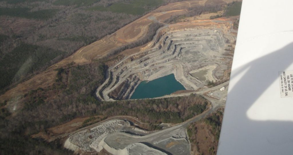
Neither man-made nor natural lakes last very long in the great scheme of geological time, since they silt up. Man-made lakes tend to silt up faster because they are often or river fed and they impound muddy floodwaters.
